


360-degree panoramic view by Stuart Abraham
Another Stuart Abraham 2014 panorama from a different viewpoint
Name
Nobody is quite sure how La Rocque got its name. It would suggest a reference to a single rock, but there are none in the area, which is very flat and low-lying. Certainly there is an extensive offshore reef, but if the area was named after that it would surely have been Les Roches. There are other placenames in the area which refer to a rock and it is believed that there was probably a large outcrop the size of a modern house in a field in the vicinity, which was demolished for building stone and to allow the field to be more easily cultivated.
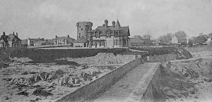
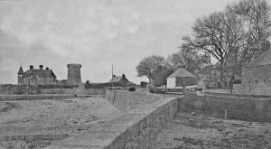
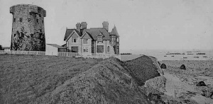
It was at La Rocque, one of the few strategic locations along the east coast lacking a defensive tower, that the French landed on the eve of The Battle of Jersey in 1781. On the day of the battle a second engagement took place at La Rocque as the French rearguard was attacked and defeated by the island's defenders.

Harbour
The development of La Rocque as a harbour followed similar lines to the small fishing ports on the north coast. Boat owners used the harbour, perhaps with some rudimentary wooden jetty; the States became aware that goods were moving through the port without payment of dues and appointed a supervisor to collect them; the boat owners decided that it they had to pay for using the port they wanted better facilities and petitioned the States; the States gave in, and after protracted delays, built a proper pier.
The first documentary reference to La Rocque as a harbour is from 1602 when the States appointed a supervisor for Le Havre de la Pecherie de la Rocque. Five years later nearby King's tenants were ordered to find two boatmen to carry messages to Guernsey when required.
Petition
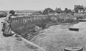
Here references in official documents cease for over two ceturies, until in 1825 Grouville parishioners sent a petition to the States complaining that over 40 boats based at La Rocque were exposed to southerly gales. Fishing gear had been lost and one boat had broken free of its moorings and drifted across to the French coast. They suggested that for only £200 the two large rocks in the harbour could be joined with a wall to provide protection from gales, and also to reduce erosion of the coastline.
Typically the Harbours Committee came up with a more expensive plan, including a dry stone wall and parapet, at a cost of £500, and after receiving the approval of the States the work was put out to tender and Abraham de la Mare started work in the spring of 1827. Progress was good and the committee extended the contract to provide for an extended parapet and paving.
But, as with other piers built at this time elsewhere in the island, the structure was neither strong enough nor sufficiently substantial to withstand the force of severe gales and so much damage was done at La Rocque in 1839 and 1841 that the States were faced with paying for repairs as well as the construction of a 112 foot extension to the structure. This work was undertaken in 1843, and three years later there was further damage, and the construction of s slipway was ordered at the same time as repairs were undertaken.
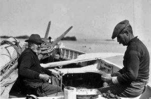
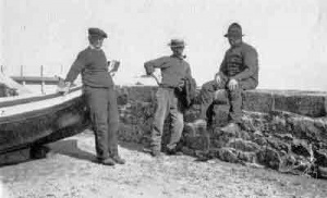
Like their counterparts in the north coast fishing ports, the Le Rocquais fishermen were still not happy, and in 1873 they launched another petition calling for the construction of a breakwater to provide the harbour with greater protection from heavy seas. However, no further development of the harbour followed, and it remained as it is today; still used by a small number of professional fishermen, and providing moorings for leisure vessels.
- A history of La Rocque
- Coast: La Rocque, one of the stops on our coastal tour of Jersey NEW

Two photographs taken from a drone in 2020


Click on any image below to see a larger version

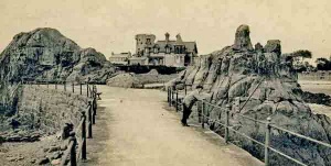
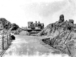
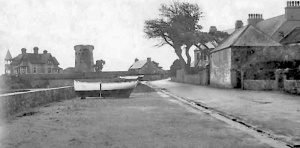
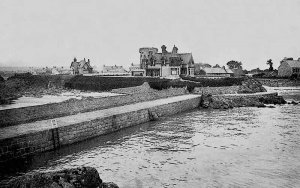
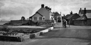
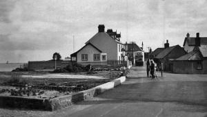
The coast road at La Rocque in 1936

Aerial view of the harbour

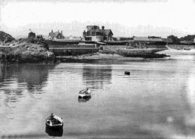
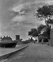
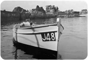
La Rocque Harbour

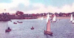
The harbour during a regatta

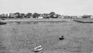
La Rocque in 1909

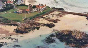
An aerial photograph of the harbour

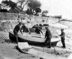
Fishing boats entering harbour

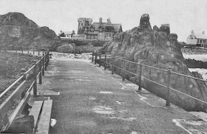
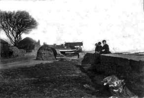
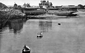
A view from the end of the jetty in Edwardian times

1937: Picture Evening Post


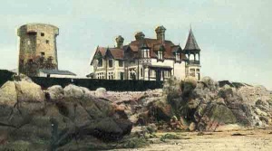
La Rocque Inn

La Rocque regatta

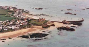
An aerial view in 1996

And another view from the air ten years later

La Rocque Harbour

Plan of the harbour

La Rocque Stores

La Rocque Stores


.jpg)

Boats at a La Rocque regatta in the 1900s

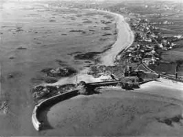
1951 aerial photograph by Aerofilms

1933 aerial photograph by Aerofilms

1933 aerial photograph by Aerofilms

A 1996 aerial view

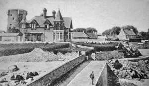
1919

Regatta


