From Jerripedia
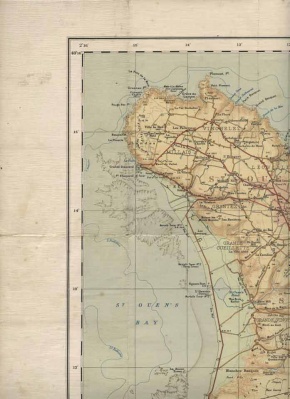
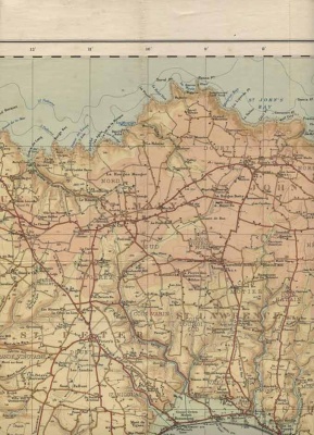
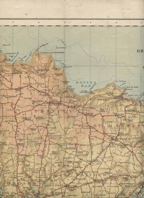
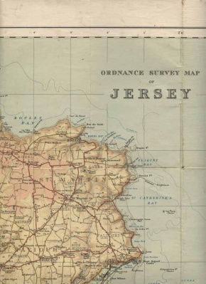
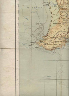
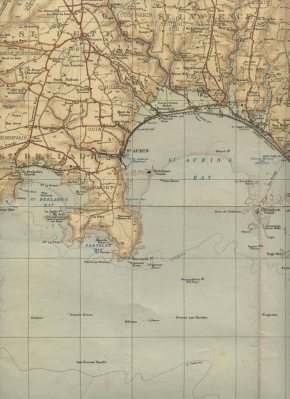
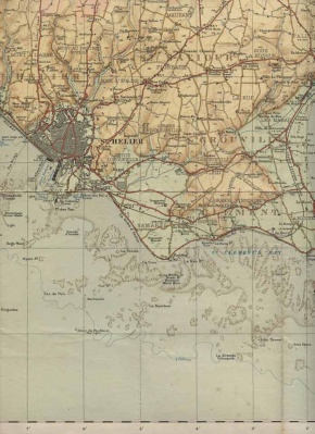
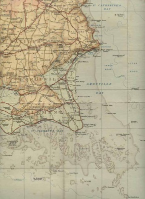
Ordnance Survey maps 1912 and 1935
Ordnance Survey map of Jersey, 1912
Ordnance Survey map of Jersey, 1935
This map is particularly important because it was the last detailed map of the island drawn up before the German Occupation. There is a fair amount of overlap between sections

