From Jerripedia
St Helier Harbour: Pictures from the early years

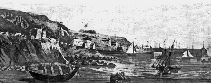
A panoramic view of the Harbour in the first decade of the 19th century. From left to right: La Folie with two boats in the English Harbour in front. The harbourmouth is formed by the ends of the South Pier on the left and the North Pier on the right. That appears to slope towards the beach from half way down and not to be connected to anything. What is now known as the Weighbridge area has not been reclaimed. That work started around 1825; the North Pier was in use by 1798. So the picture can probably be dated to the first decade of the 19th century. But what are all those buildings shown at the bottom of Westmount? This area was sand dunes at the time. The only town buildings were out of the picture on the right, but perhaps this was artistic licence

This magnificent etching of Elizabeth Castle in 1786 shows how tantalisingly close to the St Helier shoreline the castle stands, but plans which have surfaced on several occasions over the past 200 years to create a large, deep-water harbour linking the castle to the shore have never materialised. The unknown artist's work shows just how tiny the embryo St Helier Harbour was, and how isolated it was from the town it was intended to serve


