Sark

Sark

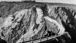
A photograph from the 1880s by Jersey photographer Philip Godfray showing La Coupée
Sark is the fourth largest of the Channel Islands, situated six miles east of Guernsey and about 24 miles west of the French coast

Introduction
Sark is three miles in length and 1½ mile in breadth. It consists of two parts connected by a narrow neck; the north part is the largest, and 2 miles in length, the southern, or Little Sark, is less than one mile in length, and narrow; the connecting isthmus is called the Coupée. The area of Sark is about five square miles. As the harbour for landing passengers is on the farther side of the island, it is about 9 miles to sail from Guernsey.
History
In 1564, Elizabeth I granted a lease to Helier De Carteret, Seigneur of St Ouen in Jersey, to be held by him and his heirs in perpetuity. He divided it up into 40 tenements and sub-let these to 40 tenants. The lease passed to the Le Pelley family of Guernsey in the 18th Century, and into the Collings family in the 19th century, from whom the current Seigneur descends. (See also List of Seigneurs of Sark).
During World War II, the island was occupied by German forces, in common with the rest of the Channel Islands.
The feudal landholding system, and associated government of the island, continued until the early 21st Century by which time it became the longest surviving feudal government in Europe. In 2008 the island's Chief Pleas approved a law enabling the feudal government to be dismantled, and in December 2008 the first elections were held.
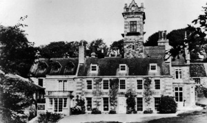
Old Family Houses
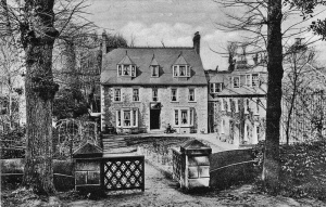
- La Seigneurie
Family tree
Gallery

-
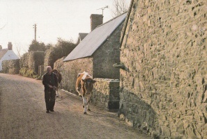
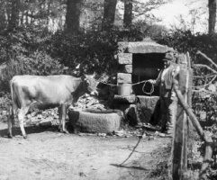 A Jersey cow in Sark, photograph by Philip Godfray
 -
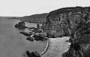 The coast, photograph by Philip Godfray
 -
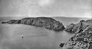 Brecqhou, viewed from Sark, photograph by Philip Godfray
 -
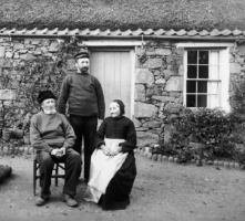 The Hamon family of Sark, photograph by Philip Godfray
 -
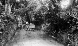 Harbour Hill, photograph by Philip Godfray
 -
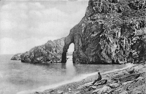
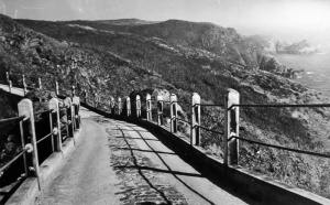 La Coupee
 -
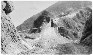 La Coupee
 -
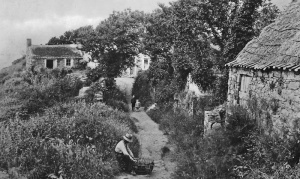 La Fregondee
 -
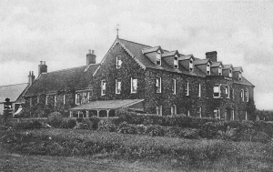 Bel Air Hotel 1908
 -
 Rue Lucas
 -
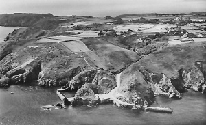 Aerial view
 -
 La Fregondee


-
 L'Alert in harbour
 -
 Stocks Hotel 1907
 -
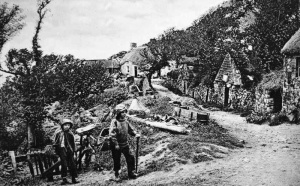
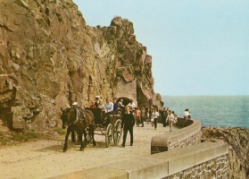
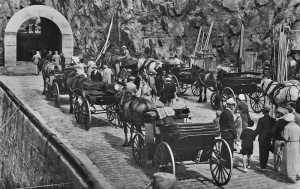 Carriages waiting on the quayside for arriving passengers
 -
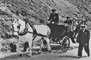 The Queen and Duke of Edinburgh enjoying a carriage ride on an official visit
 -
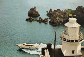 A hydrofoil passes Point Robert lighthouse
 -
 La Seigneurie
 -
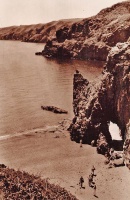 Dixcart Bay
 -
 A carriage on Harbour Hill
 -
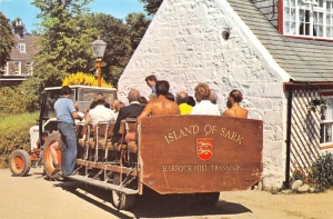 The tractor bus used to taken arriving passengers up Harbour Hill
 -
 Port du Moulin in 1913
 -
 La Coupee
 -
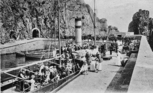
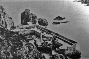 A paddle steamer inside Les Creux Harbour. How did it manage to get inside through the narrow entrance? 'It paddled' is the suggestion we received
 -
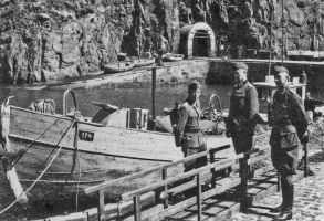 German soldiers at Creux Harbour during the Occupation
 -
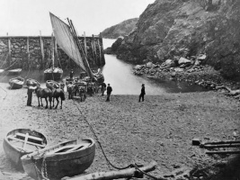 Creux Harbour, late 1800s
 -
 Creux Harbour, late 1800s
 -
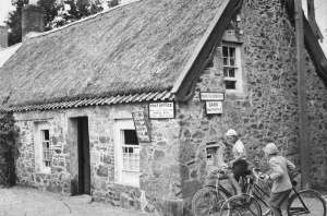 Sark's post office


