Henry Irwin 19th centure sketches of Jersey

Henry Irwin
19th century sketches of Jersey

Who was Henry Irwin, and when did he make these sketches in Jersey?

The website of www.watercolourworld.org, dedicated to watercolour paintings, contains a collection of pen and ink sketches of Jersey and Ireland by Henry Irwin. They are from an album titled Views taken in the Island of Jersey by Henry Irwin and are described as being from 'a private collection'. There is no further information about these sketches. There is no obvious reason for including them in a website devoted to watercolour paintings and no information is given about who Henry Irwin was and when he made these sketches. Unusually, Google is no further help.
After much deliberation we have come to the conclusion that, if all these sketches were made at the same time, the most likely date is in the second half of the first decade of the 19th century. There are several including coastal towers which were built in the 1780s, which limits the starting point. That showing the signal station on Mont de La Ville must surely predate the construction of Fort Regent, between 1806 and 1814. That showing 'Mr Hemery's house on the corner of La Motte Street and St Saviour's Road excludes the row of houses built by Jacques Hemery to the left, completed in 1808. But that showing 'Col Le Couteur's house' confuses the issue, because the celebrated Jersey Army Officer was not promoted Colonel until 1808.
Based on this information we originally believed that the sketches were made around 1806-1808.
Update
Further research by Philip Stevens has brought that date forward to 1799, after clarification that the Col Le Couteur referred to was not the John Le Couteur (1794-1873), promoted to that rank in 1808, but his father John (1760-1835), who rose to the rank of Lieut-General, but was Inspector of Militia in 1799, with the rank of Colonel.
Philip has also discovered a reference to a Lieut Henry Irwin, of the 69th Regiment, who was in Jersey in March 1799 and appears likely to have been the artist who created these works, the captions to which have now been updated.
Click on thumbnails to see a larger image.
-
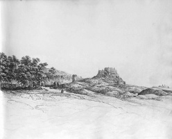
 Described as 'Prince's Tower', but difficult to locate
 -
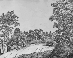
 Approaching St Brelade's Bay
 -
 Col Le Couteur's Cottage - described as Le Bocage House. This would be the original cottage which Sir John Le Couteur, eventually a Lieut-General, acquired in 1793, before building a larger house for himself in 1818
 -
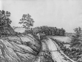
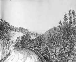 Descent to St Catherine
 -
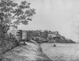
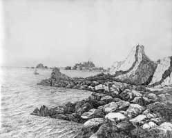 Elizabeth Castle
 -
 Elizabeth Castle
 -
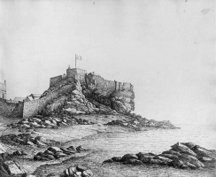 Elizabeth Castle
 -
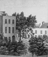 Mr Hemery's House on the corner of La Motte Street and St Saviour's Road
 -
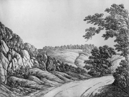
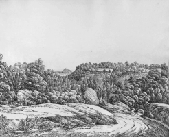 Mont Cochon valley
 -
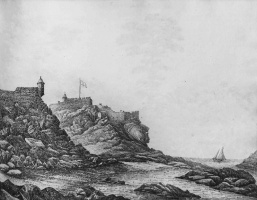
 Mont Orgueil
 -
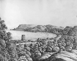
 Rozel Bay
 -
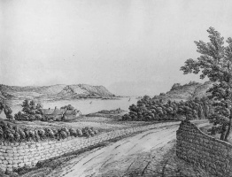
 St Brelade's Bay from Mont Sohier
 -
 St Brelade's Bay from La Marquanderie
 -
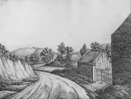
 St Catherine's Bay
 -
 St Catherine's Bay
 -
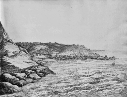
 St Clement coastline
 -
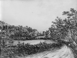
![St Clement's well - this is a lavoir rather than a well. It's location has been identified as on the north side of Grande Route de St Clement just east of Rue de Jambard [1]](/w/images/thumb/b/b1/GM22IrwinStClement%27sWell.jpg/251px-GM22IrwinStClement%27sWell.jpg) St Clement's well - this is a lavoir rather than a well. It's location has been identified as on the north side of Grande Route de St Clement just east of Rue de Jambard [1]
St Clement's well - this is a lavoir rather than a well. It's location has been identified as on the north side of Grande Route de St Clement just east of Rue de Jambard [1] -
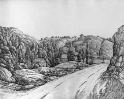
 St Peter's Valley showing Tesson Mill
 -
 St Peter's Valley
 -
 St Peter's Valley
 -
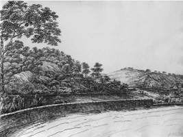
 Trinity Hill
 -
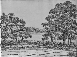
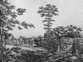
 Valley of St Aubin
 -
 View in the Valley of the Mills - Chemin des Moulins. This is what is now known as Waterworks Valley. The St Lawrence Millennium Stone is believed to be situated at this location
 -
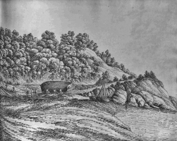
 Near St Catherine, with Moulin de la Perrelle at the left-hand edge
.png)


![St Clement's well - this is a lavoir rather than a well. It's location has been identified as on the north side of Grande Route de St Clement just east of Rue de Jambard [1]](/wiki/File:GM22IrwinStClement%27sWell.jpg)


Notes and references
- ↑
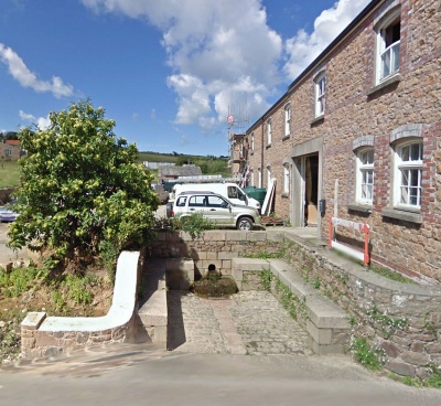 The lavoir today, little changed in over two centuries

