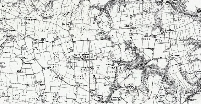
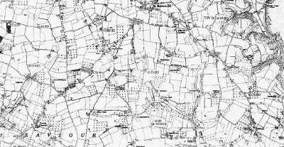
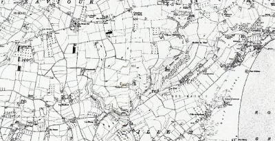
Ordnance Survey maps, 1912 and 1935
From Jerripedia
Jump to navigationJump to search

Ordnance Survey maps 1912 and 1935
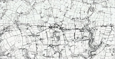
Ordnance Survey map of Jersey, 1912


Ordnance Survey map of Jersey, 1935
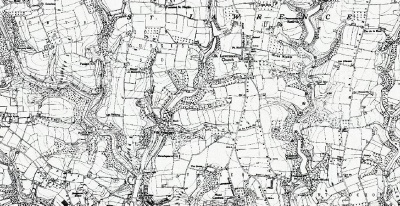
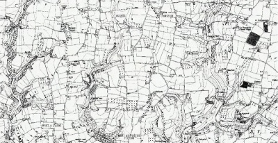
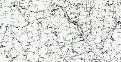
This map is particularly important because it was the last detailed map of the island drawn up before the German Occupation. There is a fair amount of overlap between sections
-
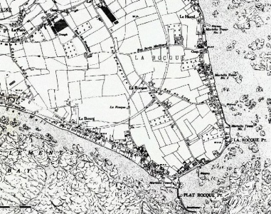 La Rocque
 -
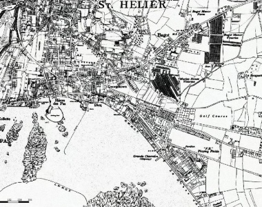 Havre des Pas, Georgetown and Bagot
 -
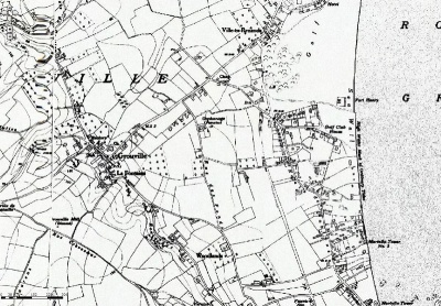
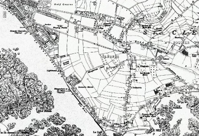 Samares
 -
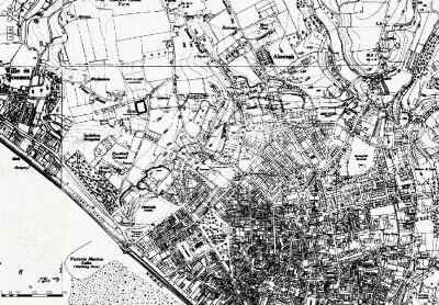
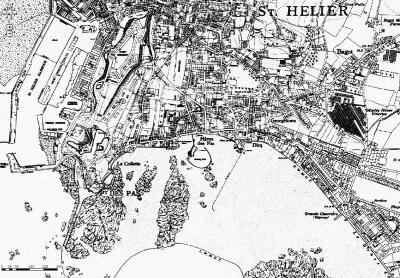 Havre des Pas, La Collette and St Helier Harbour
 -
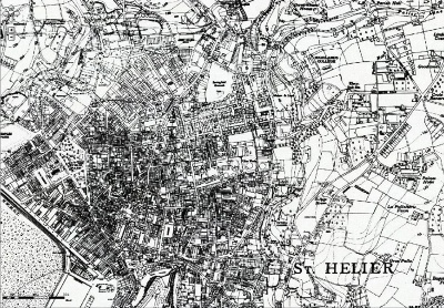
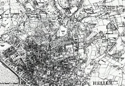 Town of St Helier
 -
 Grouville
 -
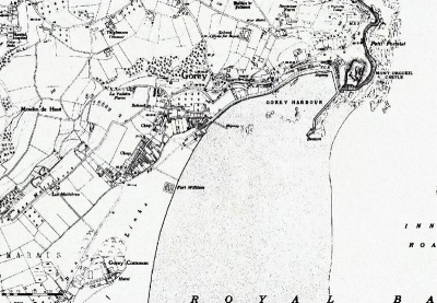 Gorey
Gorey -
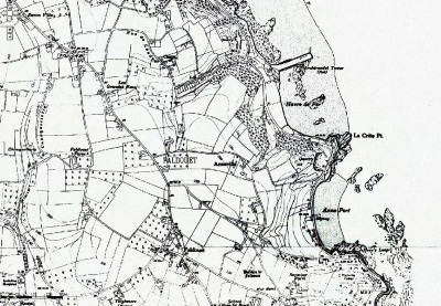 Faldouet
 -
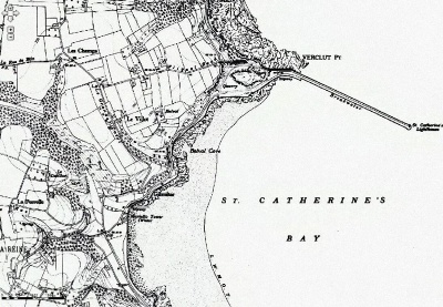 St Catherine's Bay
 -
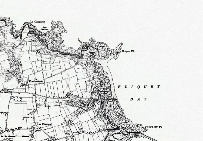 Fliquet
 -
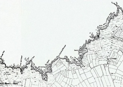
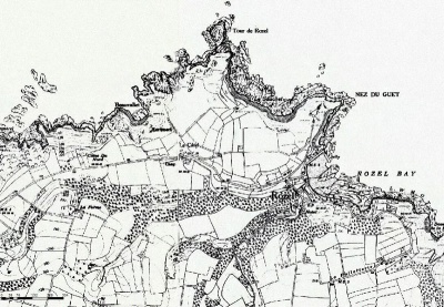 Rozel
Rozel -
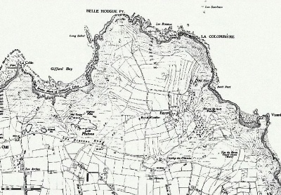
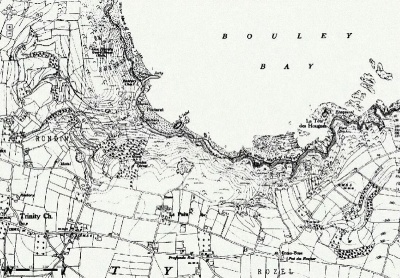 Bouley Bay
 -
 Les Platons
 -
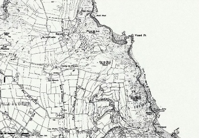 Bouley Bay, Egypt
 -
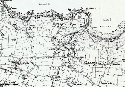 Bonne Nuit, Mont Mado, St John's Church
 -
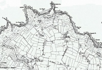 Sorel, Mourier Valley
 -
 St Mary coast
 -
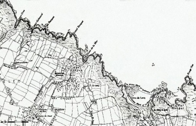 Greve de Lecq
 -
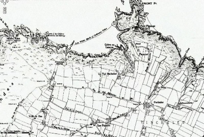 Plemont
 -
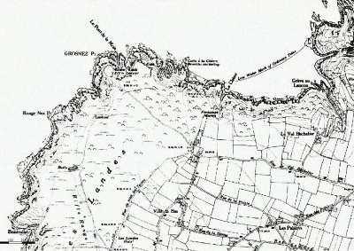 Les Landes
 -
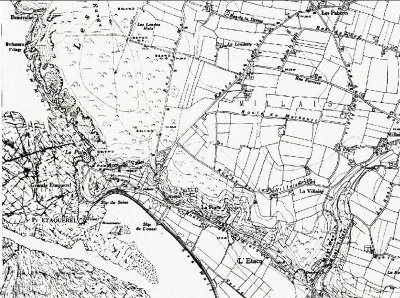 L'Etacq
 -
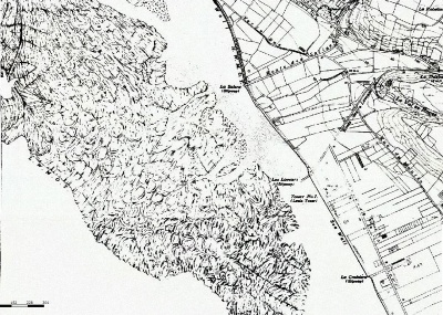 St Ouen's Bay: La Saline, Les Laveurs
 -
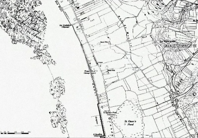 St Ouen's Bay: St Ouen's Pond
 -
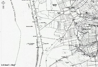 St Ouen's Bay: Le Port
 -
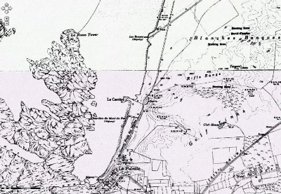 St Ouen's Bay: Blanches Banques, La Pulente
 -
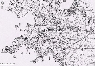 La Corbiere
 -
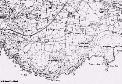 La Moye
 -
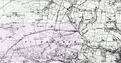
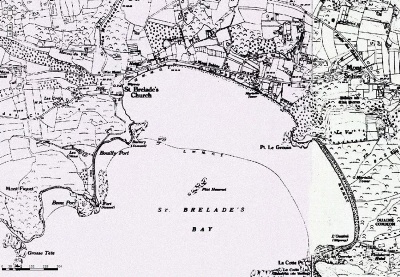 St Brelade's Bay
 -
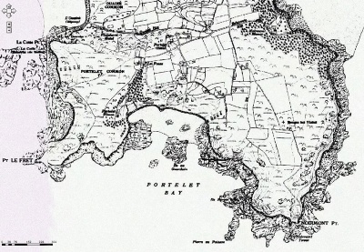 Portelet
 -
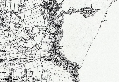 Noirmont
 -
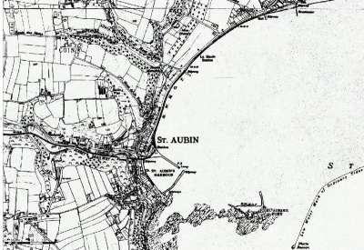 St Aubin
 -
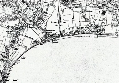 St Aubin's Bay: Beaumont
 -
 St Aubin's Bay: Millbrook, First Tower
 -
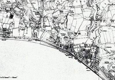
 St Aubin's Bay: West Park, west of St Helier town
 -
 Town of St Helier
 -
 St Brelade: Les Quennevais to coast
 -
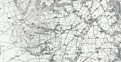 St Peter
 -
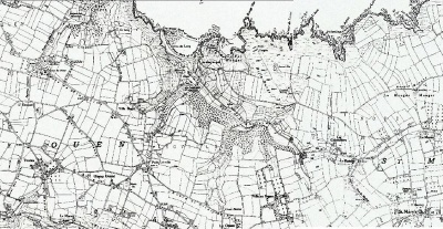
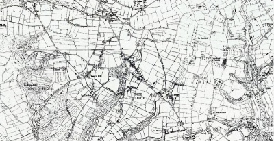 St Ouen
 -
 St Ouen/St Mary
 -
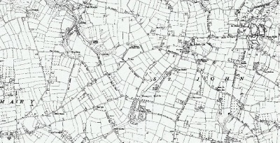 St Mary/St John
 -
 St Lawrence: Carrefour Selous
 -
 St Lawrence: South
 -
 Mont au Pretre/South Trinity
 -
 Trinity centre
 -
 St Martin
 -
 North St Saviour
 -
 South St Saviour


