1834 Le Gros map of St Helier in detail
From Jerripedia
Jump to navigationJump to search

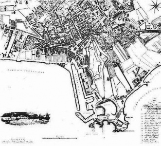
The map of the town of St Helier produced by Elias Le Gros was more meticulous than anything previously seen, and it would be a long time before the town would again be recorded in such detail. It claimed to record every property in urban St Helier, from West Park in the west to Georgetown in the east; the Harbour and La Collette in the south to the fields and meadows bounded by Rouge Bouillon and St Saviour's Road in the north. The enlarged areas below - click on any image to view full size - are just a selection of important areas of the town, but the whole of the map can be viewed at full size by followig the link at the bottom of the page. The map was reproduced by La Société Jersiaise in 1978 from the original plates, and copies are on sale through their bookshop for £50. An original map will set you back anything from 1200 US dollars to £5000, depending on condition
-
 Southern section
 -
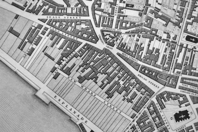 Sand Street
 -
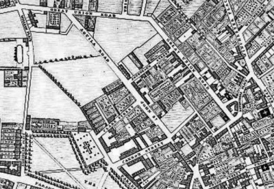
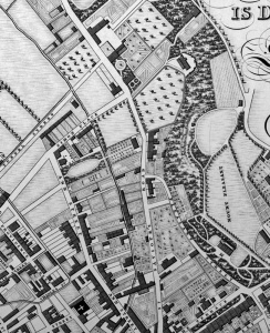 St Saviour's Road
 -
 Prison and hospital
 -
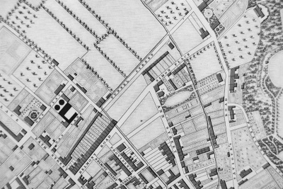
 Great Union Road
 -
 Ann Street
 -
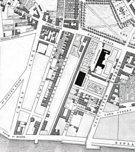
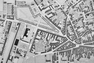 Parade
 -
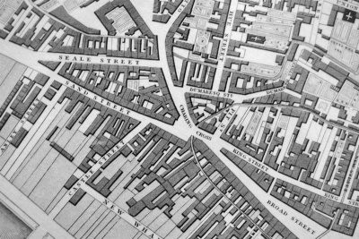 Charing Cross
 -
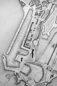 St Helier Harbour
 -
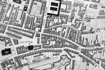 Queen Street
 -
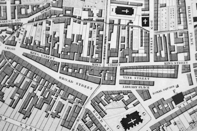 Broad Street
 -
 La Motte Street


