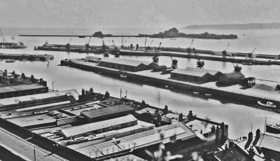
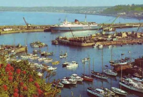
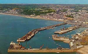
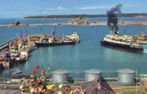
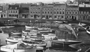
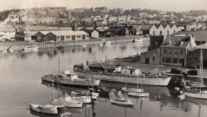
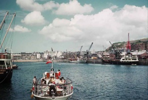
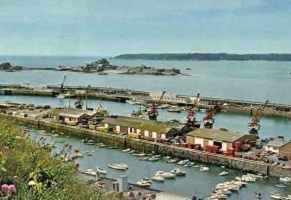
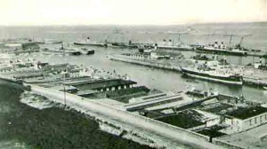
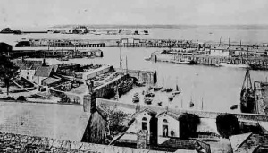
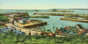
St Helier Harbour - pictures from World War 2 to today

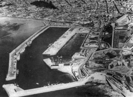
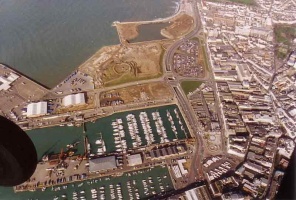
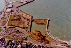
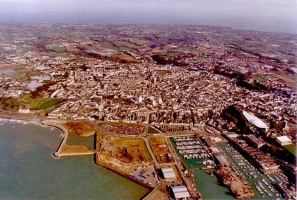
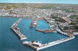
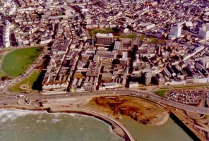
A collection of aerial photographs of Jersey from 1945 to 1979 and A collection of aerial photographs of Jersey from the 1980s and 1990s

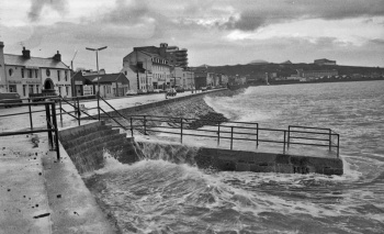
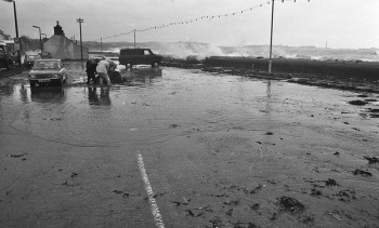
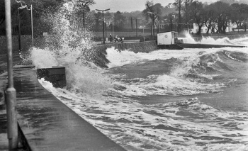
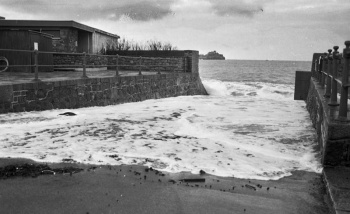
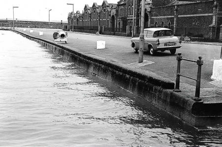
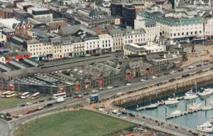
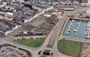
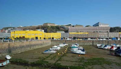
High and low tides in 1979, 1980 and 2024
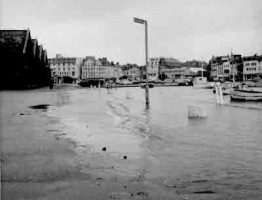
Jersey has a remarkable tidal range. The difference between high and low water on a spring tide can be over 40 feet/12 metres. The actual height of the tide on any particular day will be influenced by atmospheric pressure and weather conditions: high pressure reduces the height of a high tide but makes the water go out even further at low tide; low pressure does the reverse, and if accompanied by strong winds, can lead to extensive flooding on a high tide. These pictures were taken by Jersey Evening Post photographer Glenn Rankine on 18 March 1980 and show the extreme range of the tide on that day. The tide tables which predicted the heights of low and high water in advance forecast high water of 40.4 feet at 7.27 am and low water of -0.1 feet at 2.16 pm, the figures relating to mean sea level. These pictures suggest that high tide was pretty much as predicted, the water lapping over the top of the harbour walls, which were built at 40 feet
-
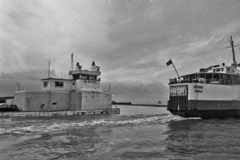
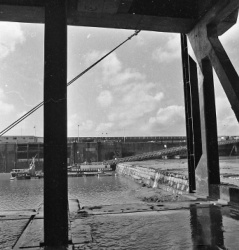
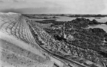
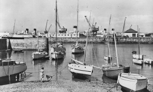
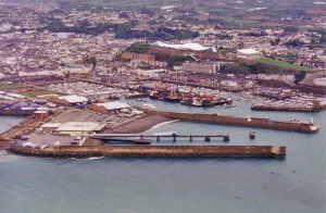
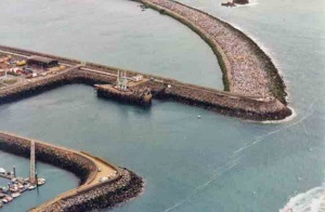
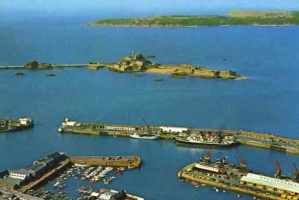
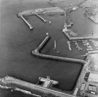
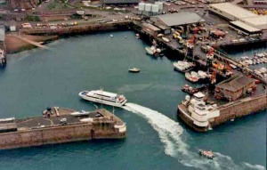
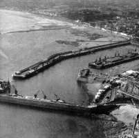
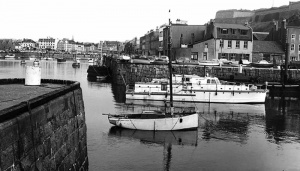
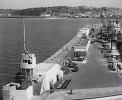
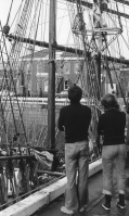
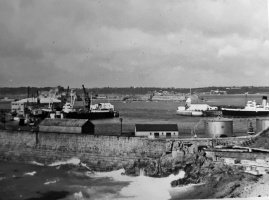
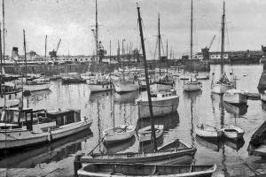
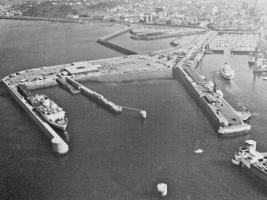
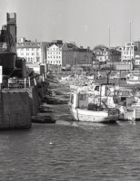
 The pierheads
 -
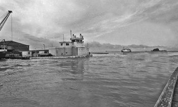
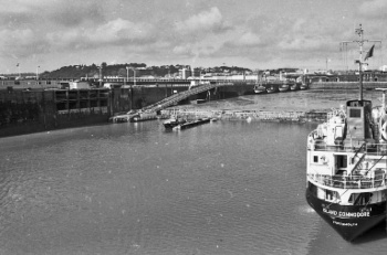
 The Solidor passes through the pierheads en route for St Malo. As the tide fell it would have been 'downhill all the way'
 -
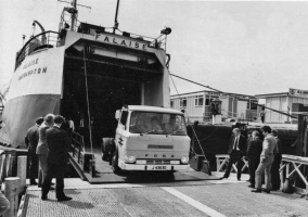
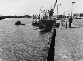
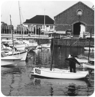
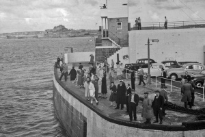
 The ferry ramp
 -
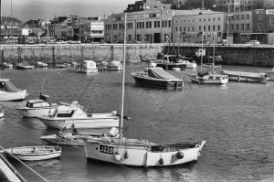
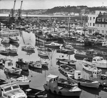
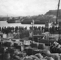
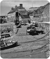
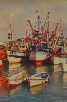
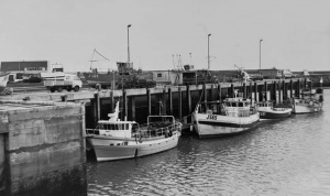
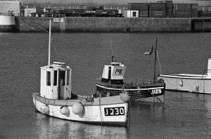
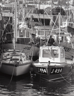
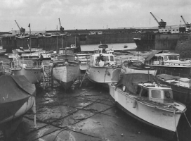
 Fishing boats on the Albert Pier
 -
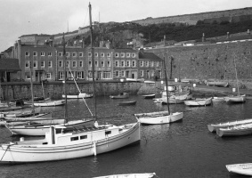
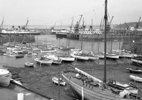
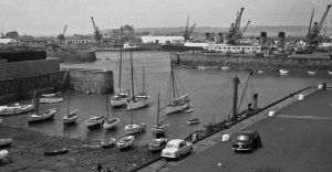
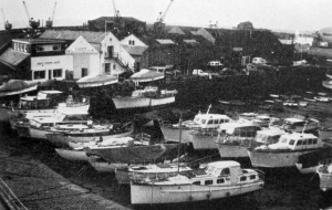
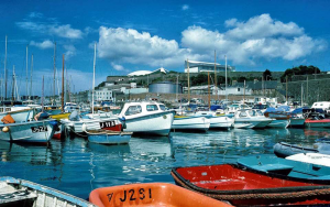
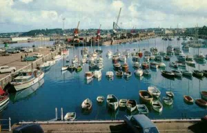
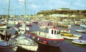
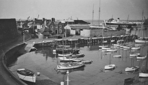
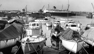
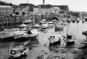
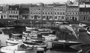
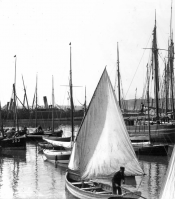
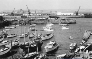
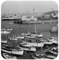
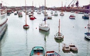
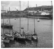
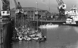
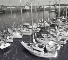
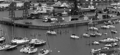
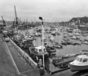 Leisure craft in the Old Harbour
 -
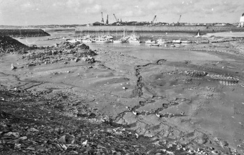
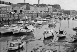
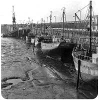
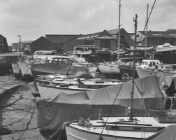
 As the water fell the area where the fishing boats were moored was completely dry
 -
 The 'harbour wall' dividing the area between the dredged berths and the dry area now turned into a marina
 -
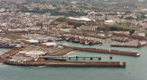
 La Collette
 -
 The retaining wall of the reclamation site west of the Albert Pier
 -
 St Clement's Bay


Similar views in January 1979
-
-
-
-
-
-
-
-
-
-
 High tide inside, and outside, the English Harbour


-
 In the 1960s
 -
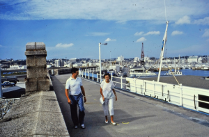
 ... and in 2019


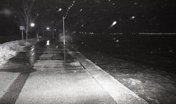
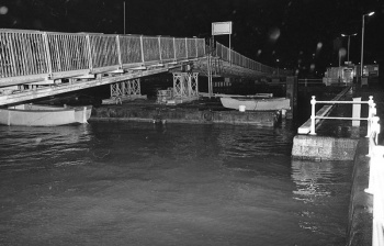
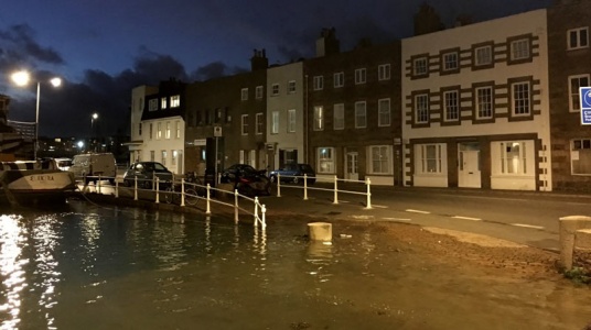
2024: The second highest tide ever
On 12 March 2024 Jersey had its second highest tide ever. High water at 7.50 am was recorded as 12.32 metres (compared with the record 12.33 metres) and in the afternoon the level had dropped to 0.05 metres. These Jersey Evening Post photographs recorded the event


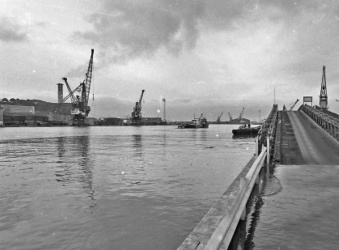
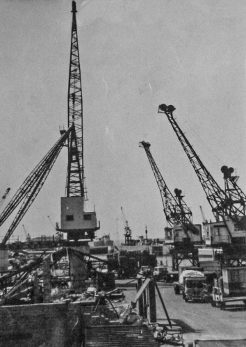
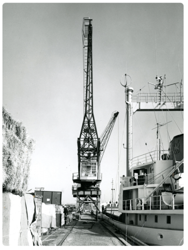
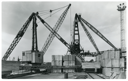
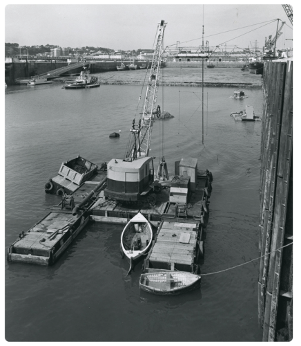
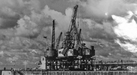
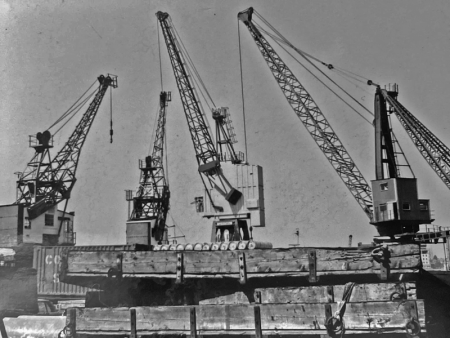
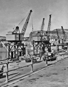
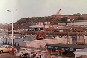
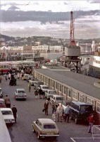
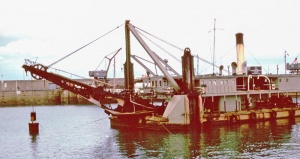
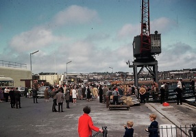
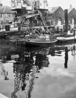
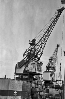
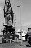
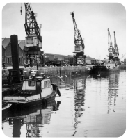
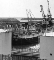
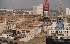
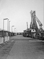
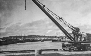
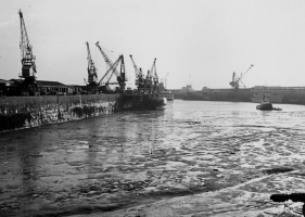
Harbour cranes
-
-
-
-
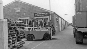
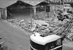
 Dismantling a derrick on the New North Quay in 1976
 -
-
-
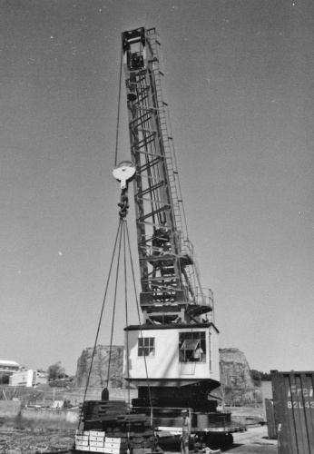
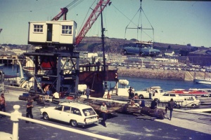
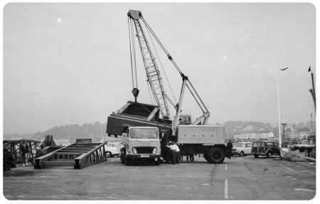 A crane being moved in 1971
 -


-
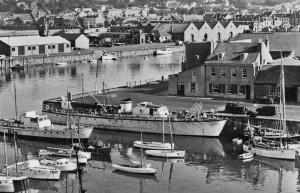
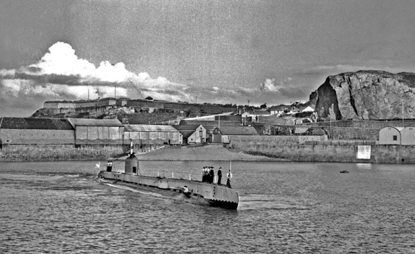 A visit by a submarine is a very rare occasion. This Evening Post picture shows HMS Seraph departing in 1947
 -
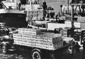
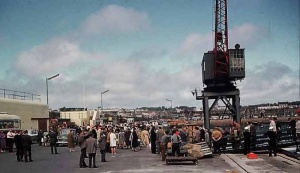
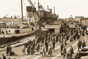
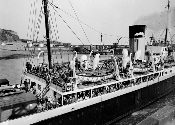 Seasonal farm workers arrive from France on the Brittany in 1959


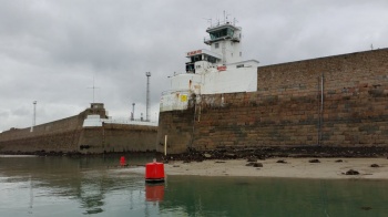
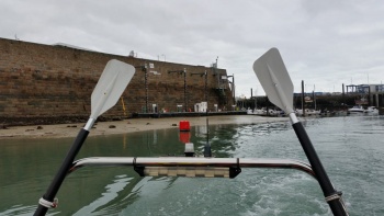
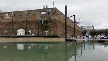
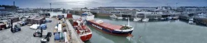
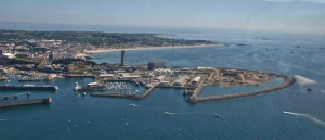
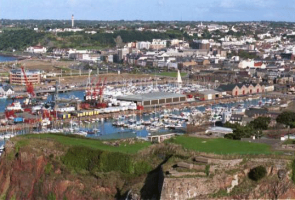
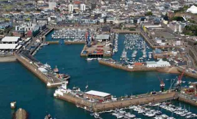
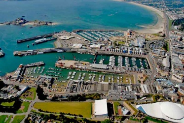
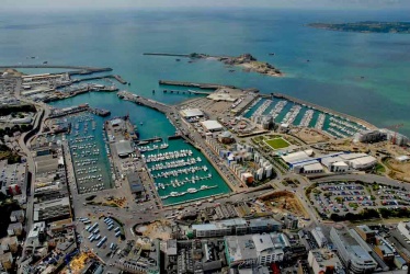
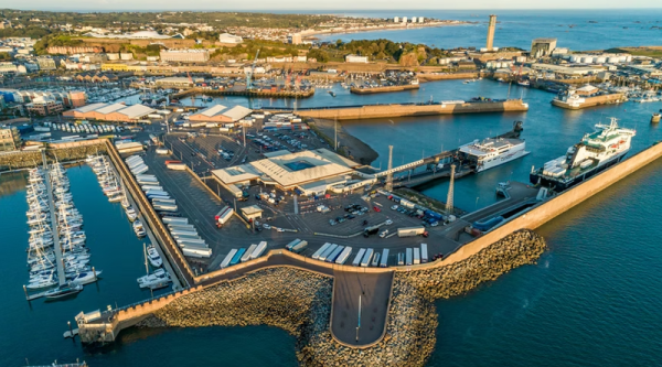
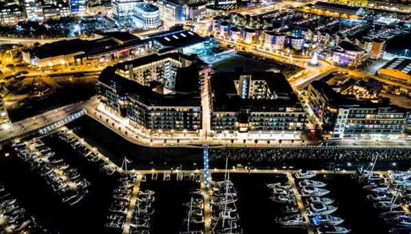
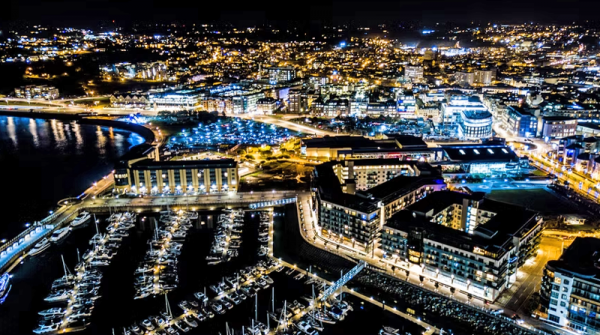
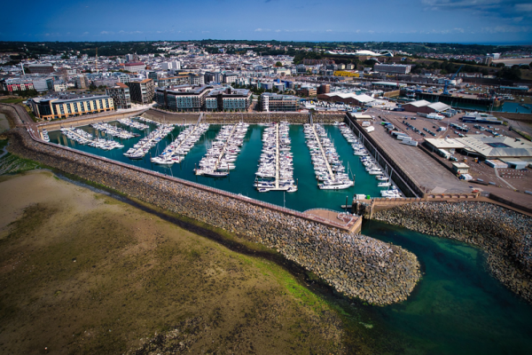
Drone photographs
These four pictures were taken in 2024 by Jersey drone photographer, Paul Lakeman


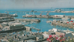
General gallery

-
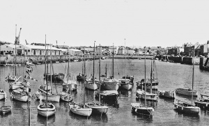
 1946
1946 -
 1946
1946 -
 1947
1947 -
 ss Brittany on the New North Quay in the background
 -
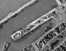 An RAF reconnaissance photograph of the New North Quay on 20 February 1945
 -
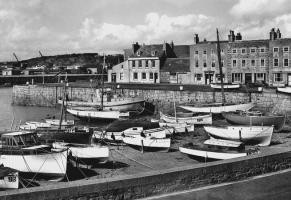
 1950
1950 -
 English Harbour 1950s
 -
 1950s
1950s -
 1950s
1950s -
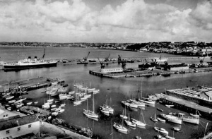
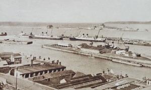
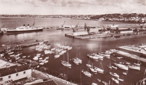
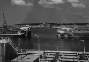
 1960 aerial view - picture Evening Post
 -
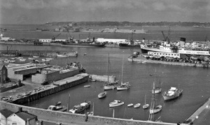
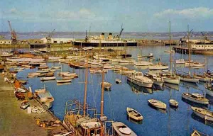
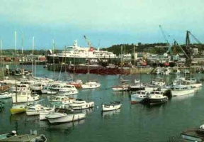
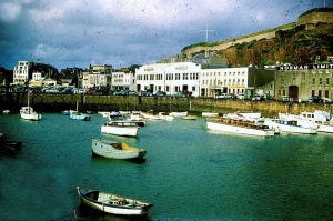
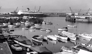 Leisure craft in the English Harbour
 -
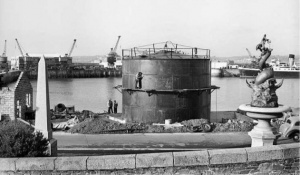
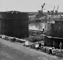 Installation of fuel tanks in 1955
 -
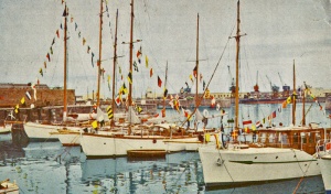
 Leisure craft in 1956 - a Photochrom postcard
 -
 1951 aerial photograph by Aerofilms
 -
 1951 aerial photograph by Aerofilms
 -
 English Harbour 1955


-
-
 Three pictures of the harbour taken by holidaymakers in 1950
 -


-
 South Pier Shipyard, 1965
 -
 South Pier, 1965
 -
 1961
1961 -
-
-
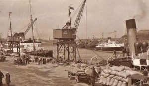
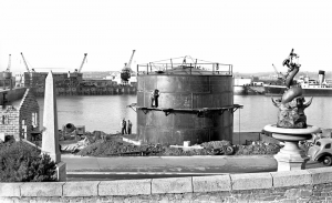
 Installing an oil storage tank in 1954
 -
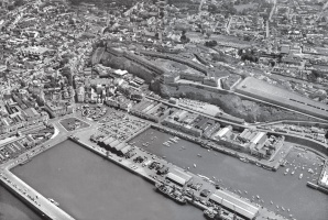
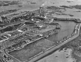
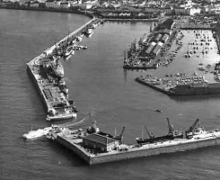
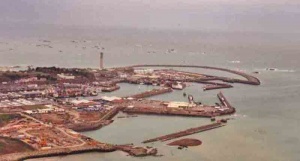
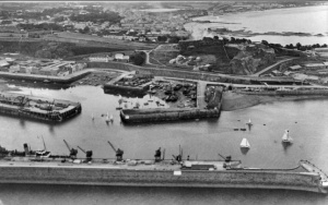
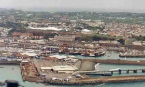
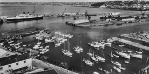
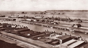
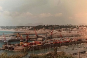
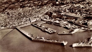
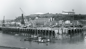
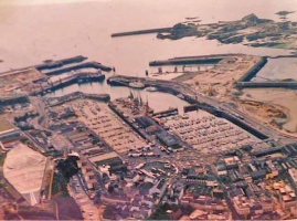 An aerial view of an expanding harbour in 1987
 -
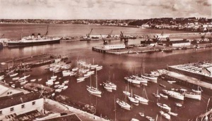
 The Harbour in the 1950s
 -
 1950
1950 -
 1950
1950 -
 Pierheads 1953
 -
 Harbourmouth in 1959
 -
 Construction of the Albert Harbour marina
 -
 Construction of the Albert Harbour marina
 -
 Construction of the Albert Harbour marina
 -
 Harbour wall construction


-
 Victoria Pier 1964
 -
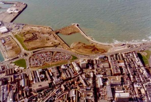
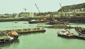
 Reclaimed land in the 1970s
 -
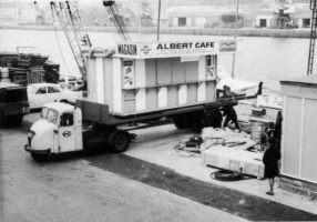 The Albert Pier cafe on the move in 1971
 -
 Before land reclamation
 -
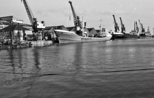
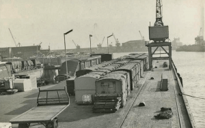
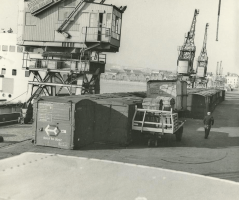
 Tanker berth 1977
 -
 Tanker berth 1977
 -
 Tanker berth 1977
 -
 An aerial view in 1968
 -
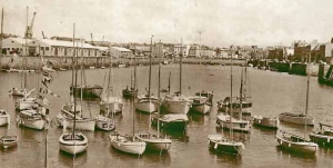
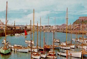
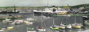
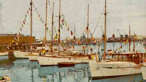 Yachts in the harbour in 1958 before a marina was ever thought of
 -
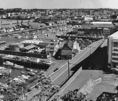
 The harbour in the 1960s
 -
 The harbour in 1980
 -
 The Harbour in 1976


-
 The English Harbour in the 1950s
 -
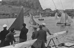 Dinghy racing in the harbour in 1948
 -
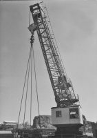 A 30-ton crane in 1966
 -
 Tanker berth
 -
-
 1950s
1950s -
 1950s-60s
 -
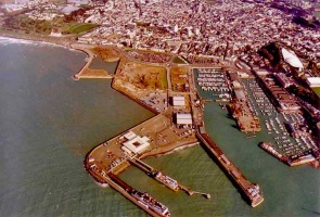
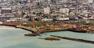
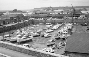
 The West of Albert land reclamation was well under way in 1995
 -
 A new section is added to the reclaimed land beyond the Esplanade in 1995
 -
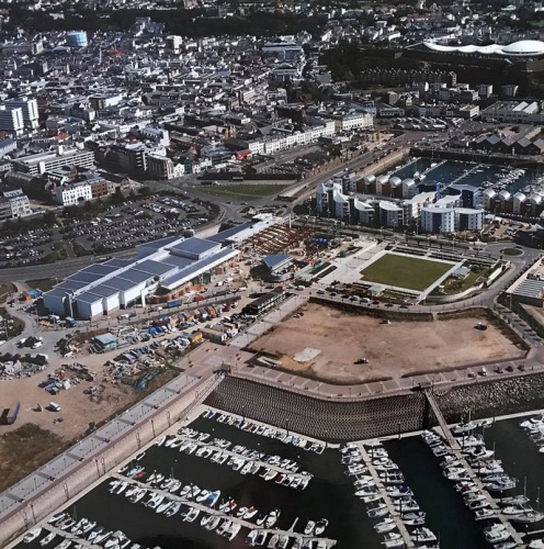
 An overall view of the Waterfront in 1995
 -
 Looking across the Waterfront from above the Elizabeth Terminal ferry terminal in 1996
 -
 A higher view looking down on the ferry terminal and the reclaimed Waterfront behind
 -
 The reclaimed area is extended westwards towards West Park in 1995
 -
 Reclaimed land to the west of the Albert Pier is still largely undeveloped in 1996
 -
 The Elizabeth Harbour ferry terminal in 1997
 -
 1950
1950 -
 1950s aerial view
 -
 1950s aerial view
 -
 A ferry arrives in 1973
 -
 Land reclamation 'West of Albert'


-
 1960s
1960s -
 Albert Pier 1962
 -
 1968
1968 -
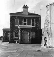 Harbour Office
 -
 Ferry ramp in 1979
 -
 1997
1997 -
 1958
1958 -
 The ill-fated Greenpeace ship Rainbow Warrier in the harbour in the 1970s
 -
 The ill-fated Greenpeace ship Rainbow Warrier in the harbour in the 1970s
 -
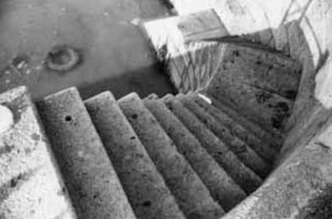 Harbour steps
 -
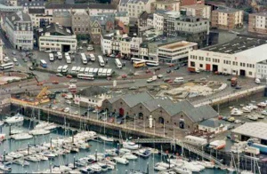
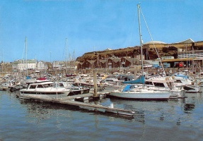
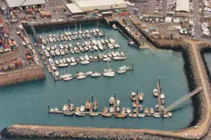 La Collette Marina
 -
 The 'island site' at the top of the Albert Pier
 -
 The 'island site' at the top of the Albert Pier
 -
 Tanker berth
 -
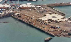
 Elizabeth Terminal
 -
 The first reclamation site


-
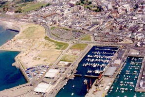
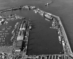
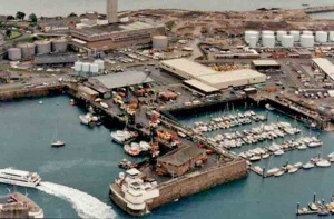
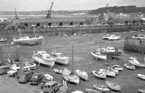
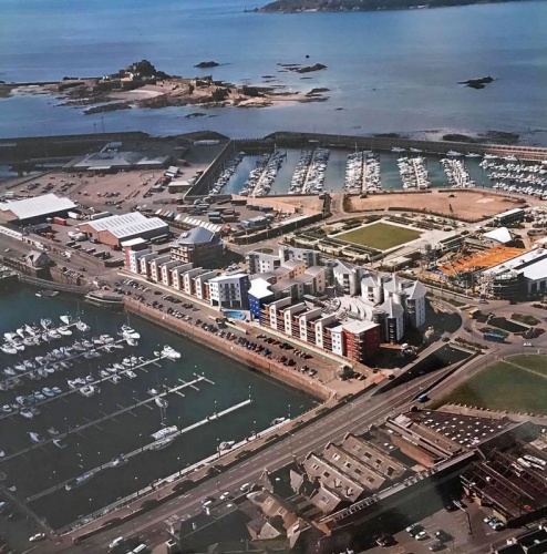
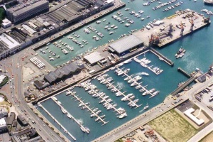 An aerial view of the Albert marina in 1996
 -
 On the Albert Pier in the 1960s
 -
The Harbour in the 1950s
-
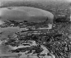
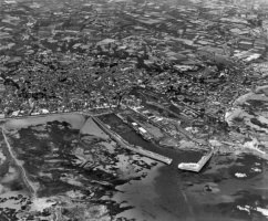
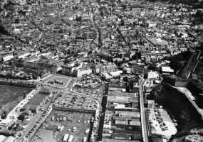
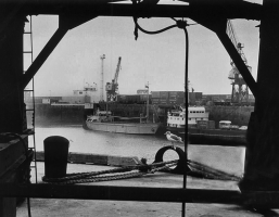
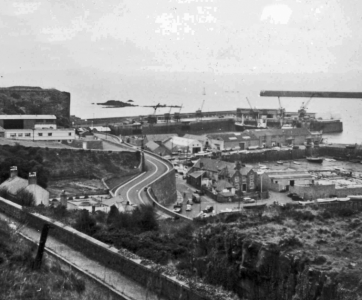
 An aerial view
 -
 The Albert Harbour before the marina was built
 -
 Aerial view
 -
 The high tide floods over the harbour edge in 1962
 -
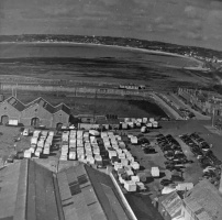
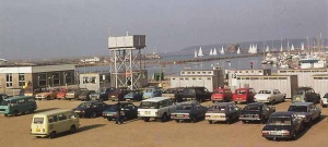
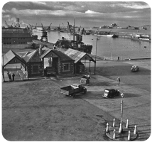
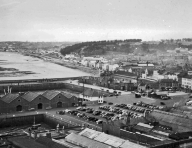
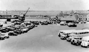 Post-war car and bus parking. Note that there are no road markings
 -
 Looking down on the New North Quay
 -
 The roofs of Commercial Buildings with the Harbour beyond
 -
 English Harbour
 -
 English Harbour
 -
 Rock breaking in the Albert Pier berths in 1960 prior to the introduction of the Caesarea and Sarnia
 -
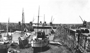
 The Old Harbour on a sunny day in 1977
 -
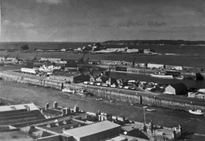
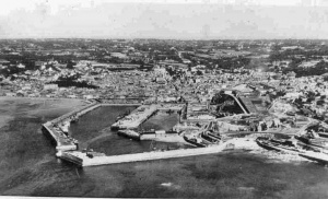
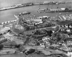
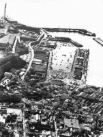
 A post-WW2 aerial view
 -
 Ferry ramp in 1978


-
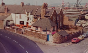
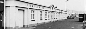 The old immigration building
 -
-
 Leisure craft in the French Harbour
 -
 The French Harbour
 -
 New North Quay
 -
 Old Harbour
 -
 Leisure craft in the French Harbour
 -
 The French Harbour
 -
 St Helier stretches out behind the Esplanade with People's Park and Victoria Park on the far left
 -
 The new ferry terminal being constructed beyond the first reclamation scheme
 -
 The new ferry terminal in use
 -
 New North Quay and the Weighbridge
 -
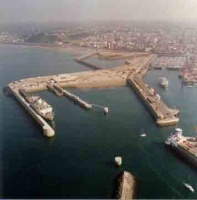
 The pierheads
 -
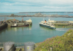
 The pierheads and La Collette marina
 -
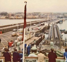
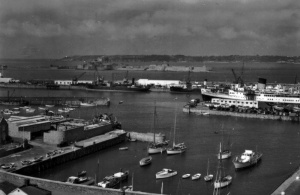
 The ferry terminal
 -
 the ferry terminal


-
 1966
1966 -
 1965
1965 -
 The English Harbour in 1956
 -
-
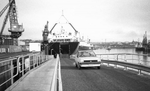
 The first ferry ramp being installed in 1973
 -
 Early trials of the ramp
 -
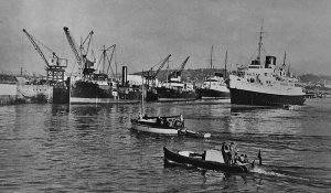
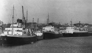
 Brittany unloading in 1960
 -
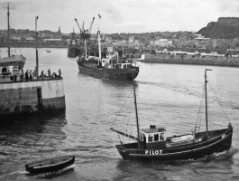
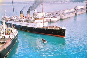
 Caesarea passing through the pierheads in the early 1960s
 -
 The English Harbour and La Folie Inn in the late 1940s. Southern Railways' Brittany is in the background.
 -
 1965
1965 -
 1965
1965 -
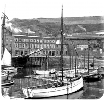
 The French Harbour in the 1950s
 -
 Pierhead control at the end of the Albert Pier in the 1960s
 -
 Marina construction
 -
 English Harbour, 1950s
 -
 The Albert Marina
 -
 New North Quay, 1951
 -
 View across the French Harbour in 1950
 -
 The Old Harbour in 1971
 -
 Albert Pier in 1971
 -
 Albert Pier in 1971
 -
 English Harbour
 -
 Old Harbour, 1976
 -
 2000
2000


-
 1960s aerial view
 -
 Old Harbour in 1971
 -
 Albert Pier
 -
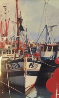
 Fishing boats in the 1960s
 -
-
 English Harbour
 -
 English Harbour
 -
 1960s
1960s -
 1960s
1960s -
 1965
1965 -
 Harbour Office in 1975
 -
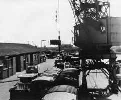
 Potato barrels
 -
 1970
1970 -
 1970
1970 -
-
 New North Quay in the 1950s
 -
 Old Harbour in the 1960s
 -
 South Pier, 1960s
 -
 Tanker berth, 1975
 -
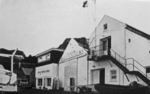
 La Folie


-
 High tide in 1977 - Picture Jersey Evening Post
 -
 High tide in 1977 - Picture Jersey Evening Post
 -
 New North Quay 1970s
 -
-
-
 The Old Harbour in about 1952 - Picture courtesy of Facebook group Jersey Temps Passe
 -
 The harbourmouth and Elizabeth Castle beyond, viewed from the back of Victoria Pier in 1957. Now the area in the foreground is all reclaimed land
 -
 1947
1947 -
 1978
1978 -
 An aerial view in 1949
 -
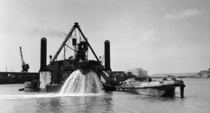 Dredging in 1958-1959
 -
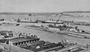
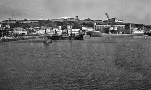
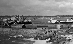 The Victoria Harbour in 1957
 -
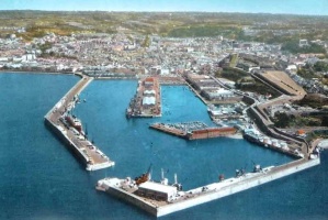
 1961 panoramic view
 -
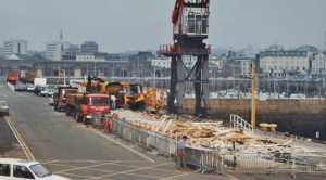 Albert Pier terminal demolition in 1990 - Picture by Mark Pulley
 -
 Albert Pier terminal demolition in 1990 - Picture by Mark Pulley
 -
 Victoria Pier, 1970s
 -
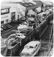
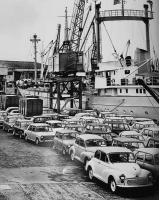 A consignment of new hire cars in 1965
 -
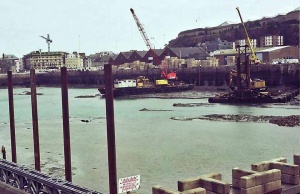
 Rebuilding of an Albert Pier berth in 1992, picture by Mark Pulley
 -
 Old Harbour 1973
 -
 La Folie
 -
 Pierheads in 1958
 -
 English Harbour 1956
 -
-
-
-
 Victoria Pier crane
 -
-
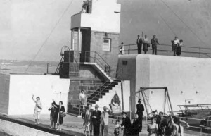
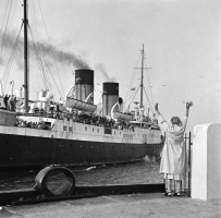 Waving goodbye at the pierheads
 -
 Isle of Jersey arrives in the 1950s
 -
 Cars being craned on to a cargo vessel for the journey to St Malo in the early 1970s. Their owners caught up with them later travelling on a Condor hydrofoil
 -
 1963
1963 -
 1971
1971 -
-
 1946
1946 -
 Old Harbour 1953
 -
 English Harbour 1948
 -
 1964
1964 -
 1964
1964 -
 1964
1964 -
 Fishing boats in the London Bay in 1976
 -
 Visiting yachts in 1977 - Jersey Evening Post photograph
 -
 1977 - Jersey Evening Post photograph
 -
 1977 - Jersey Evening Post photograph
 -
 1977 - Jersey Evening Post photograph
 -
 Albert Pier arrival
 -
 The Albert Pier promenade deck in 1989
 -
 Low tide in 1978, before the marina was constructed
 -
 English Harbour 1965
 -
 English Harbour 1965


.jpg)


-
 View from Fort Regent in 1953 ...
 -
 .. and from Glacis Field the same year


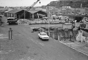
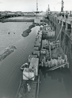
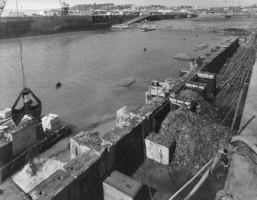
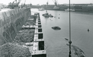
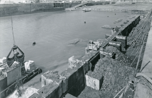
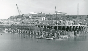
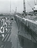
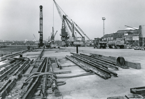
1970s New North Quay widening
These pictures show the New North Quay from 1968, through the 1970s, and particularly from 1976 to 1978 during a substantial project to widen the quay
-
 1968
1968 -
 1970s
1970s -
 1970s
1970s -
 1971
1971 -
 1971
1971 -
 1976
1976 -
 1976
1976 -
 1976
1976 -
 1976
1976 -
 1976
1976 -
 1976
1976 -
 1977
1977 -
 April 1977
 -
 April 1977
 -
 October 1977
 -
 May 1978
 -
 May 1978
 -
 May 1978
 -
 May 1978
 -
 May 1978


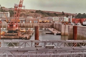
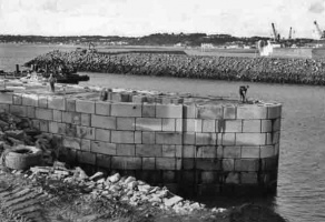
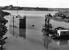
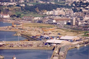
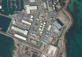
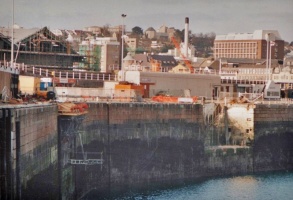
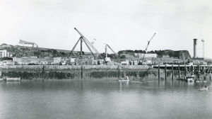
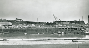
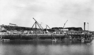
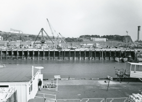
Elizabeth Harbour construction
The first major harbour development for over a century was the construction of the Elizabeth Harbour in 1988


21st century

-
 The old harbour in 2005
 -
 The inner harbour in 2011
 -
 St Helier Harbour and Fort Regent in 2007
 -
 A 2006 aerial view
 -
 New North Quay, picture by Mark Pulley
 -
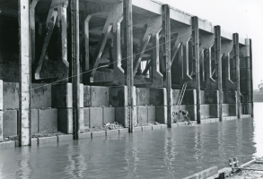
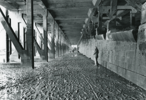
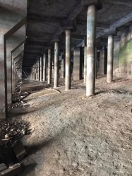 Underneath the Victoria Pier
 -
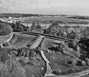
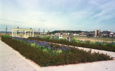 Elizabeth Marina car park gardens in 2000
 -
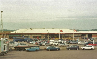 Elizabeth Terminal in 2000
 -
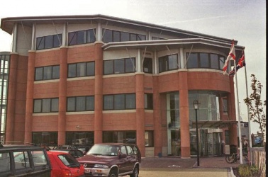 Maritime House 2000
 -
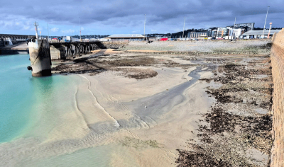 The ferry terminal dries out on low tides


-
 2002
2002 -
 2002
2002


-
 Elizabeth Terminal photographed by Bam Perspectives
 -
 Elizabeth Marina photographed by Bam Perspectives
 -
 Elizabeth Marina photographed by Bam Perspectives
 -
 Elizabeth Marina photographed by Paul Lakeman


