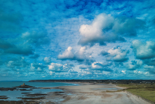
St Ouen's Bay
From Jerripedia
Jump to navigationJump to search
On the coast
|
 St Ouen's Bay
  to view the bay in Google Street View
|

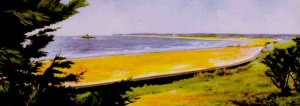
The bungalows, which were scattered all along the shoreline, disappeared when the Germans built a sea wall
Areas of the bay
L'Etacq - La Pulente - La Rocco Tower - St Ouen's Pond - Grande Route des Mielles
Stops on our coastal tour of Jersey
St Ouen's Bay: north - St Ouen's Bay: centre - St Ouen's Bay: south


A selection of 360-degree panoramic views of the bay
Click on image to see larger picture

A photograph of the bay taken from a kite
-
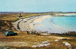
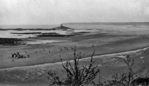
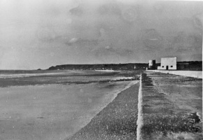
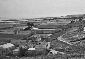
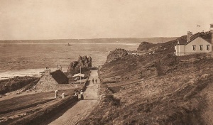
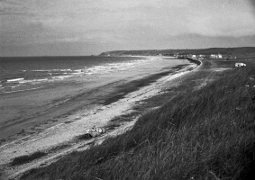
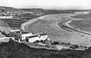
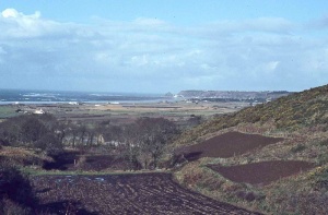 The north end of the bay
 -
-
-
-
-
-
-
-
-
-
-
-
 A picture by Emile Guiton of the remains of forest trees
 -
-
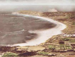
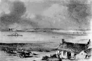
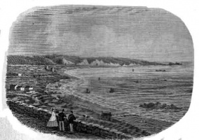 St Ouen's Bay in 1870
 -
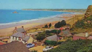
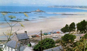
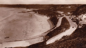
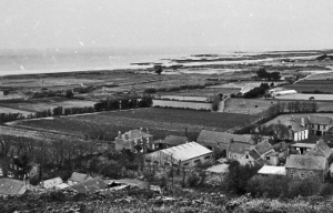
 Looking south from L'Etacq


Steps to the beach at Chateau Plaisir
-
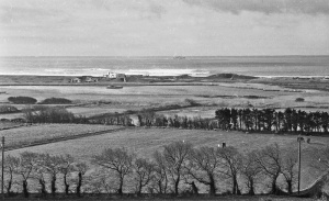
 The view from the heights above La Pulente
 -
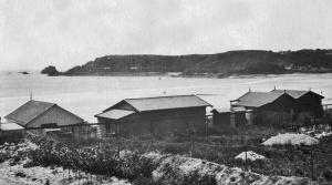
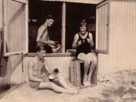 Beach huts were popular in the bay before the Occupation but not permitted afterwards
 -
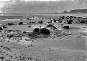
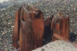
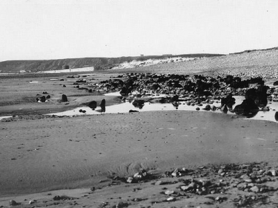
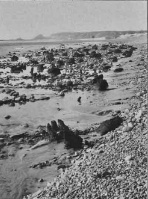 Stumps of trees from the ancient forest
 -
-
-
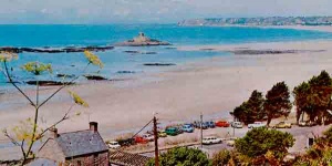
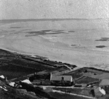
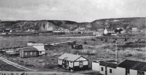
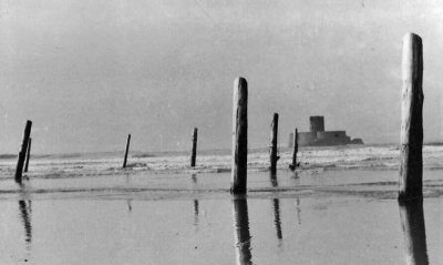
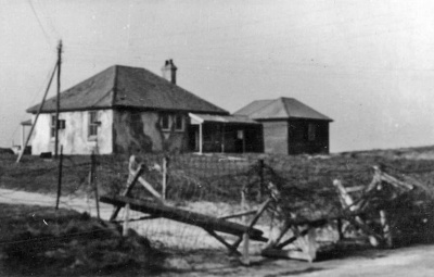
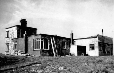
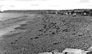 Weekend ungalows were dotted all along the coast before World War Two
 -
 St Ouen’s Bay during the German Occupation
 -
 1930
1930


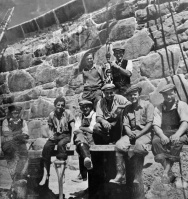
Beachguards
-
 1941
1941 -
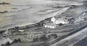
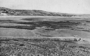
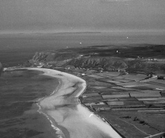
 La Saline from the air
 -
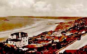
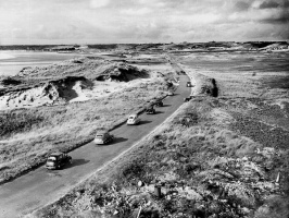
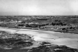 St Ouen’s Bay, 1964
 -
 1930s
1930s -
-
-
-
-
 1923
1923 -
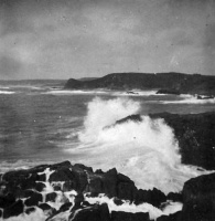 A rough sea photographed from the south of the bay
 -
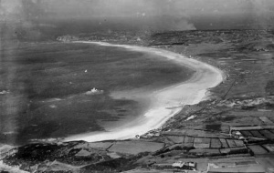 1933 aerial photograph by Aerofilms
 -
 1933 aerial photograph by Aerofilms


La Moye clubhouse in 1933, with weekend chalets lining the coast behind
-
 1951
1951 -
The bay viewed from L'Etacq
-
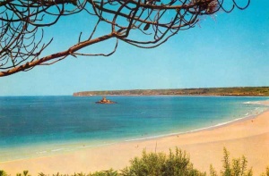
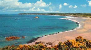
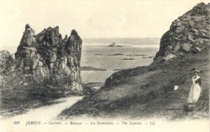
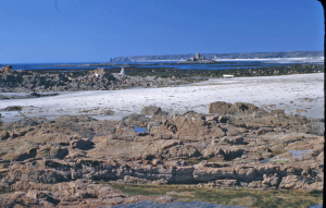
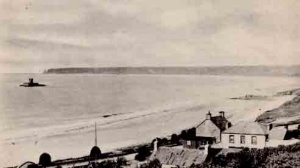 La Pulente with La Rocco Tower in the bay
 -
 The La Pulente end of the bay
 -
 The bay in 1965
 -
 1925
1925 -
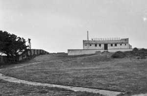
 St Ouen's Bay beach guards station in 1966
 -
 Beach guards in 1963
 -
 Chalets on the sea shore
 -
 Another view of pre-war weekend bungalows
 -
 1941
1941 -
 1933
1933 -
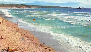
 1953 during a surfing competition
 -
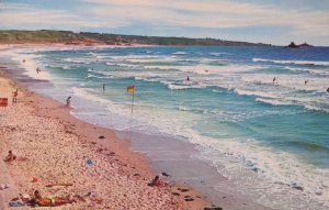
 A good day for surfing
 -
-
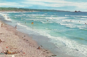
 LL postcard
 -
 The bay seen from L'Etacq
 -
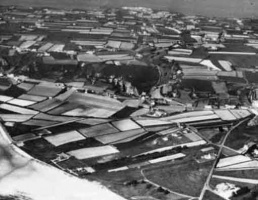
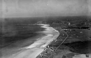
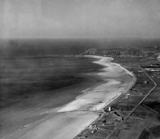
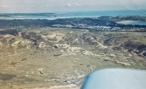
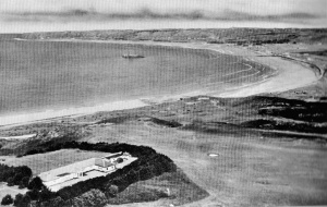 An aerial view with La Moye Golf Club in the foreground
 -
 1977 - picture Jersey Evening Post
 -
 1977 - picture Jersey Evening Post


A standing stone in the middle of the sand dunes
-
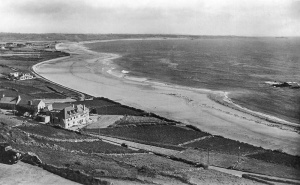
 View from La Pulente in 1948
 -
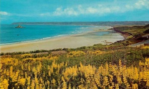
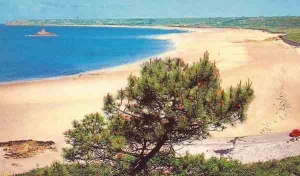
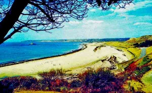
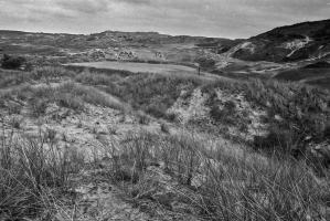
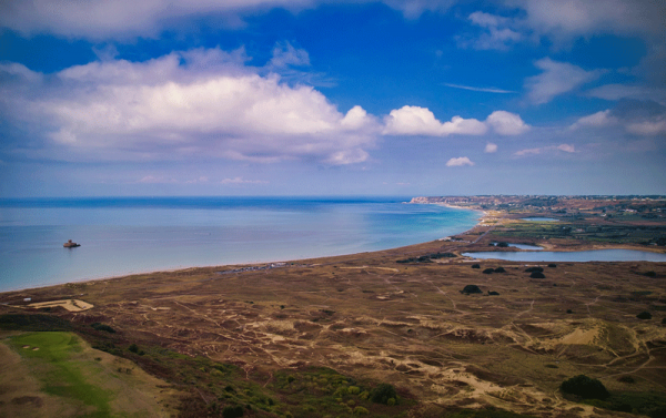
 Blanches Banques
 -
 A view of the bay from La Corbiere - Picture courtesy of Facebook group Jersey Temps Passe
 -
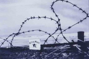
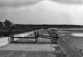 Barbed wire on the sea wall in 1941
 -
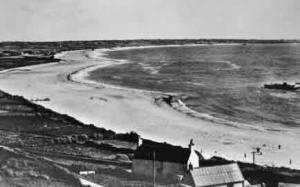
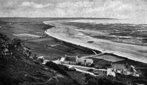
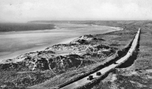
 Looking south along the length of the bay from L'Etacq
 -
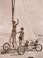
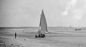
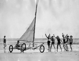 A sand yacht, probably in the 1930s ...
 -
 ... and another picture of the same yacht
 -
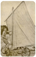 Peter Everard's sand yacht
 -
 1960s view from Corbiere
 -
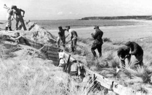
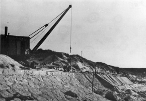 Construction of the sea wall at Le Braye in 1941. The crane was brought from the Victoria Pier for this work
 -
 1950s
1950s -
 1950s
1950s


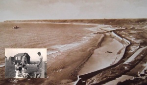
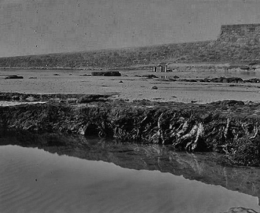
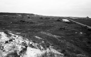
Peat beds exposed when the sand level dropped
-
-
 Peat beds exposed in 1925
 -


-
 Barge Aground in 1977
 -
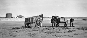 Carts on the beach
 -
 Sand yacht
 -
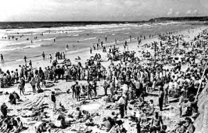
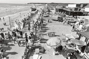
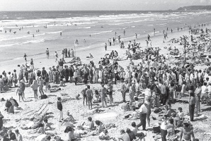 Large numbers on the beach in the 1980s
 -
 Repairs to the old granite seawall in the 1940s
 -

-
-
 1970s
1970s -
 Looking south from L'Etacq in 1948
 -
 Jersey Evening Post picture of Blanches Banques in the 1990s
 -
 Blanches Banques in the 1990s


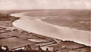
1970 panorama

1930s

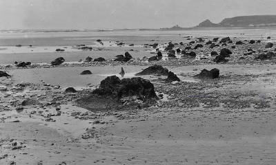
A 1962 photograph of the remnants of the ancient forest, exposed by tidal sand erosion
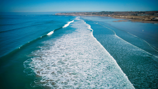
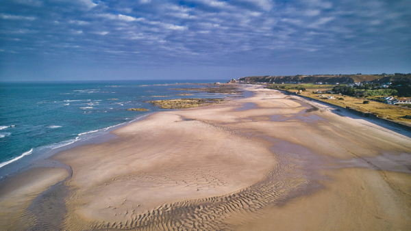
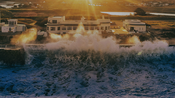
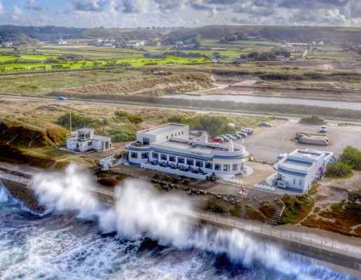
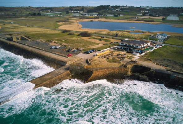
Drone photographs
These pictures were taken by drone photographer Paul Lakeman.

-
-
-
-
-
-
-
-
-
 Sands, March 2023
 -
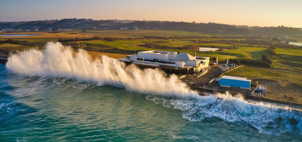
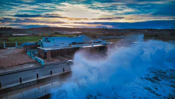 Watersplash, February 2024


Picture by BAM Perspectives
1976 - what a mess!
Jersey Evening Post photographs by Ron Mayne, showing what a mess the bay was in during the mid-t0s


Occupation photographs
These pictures of of the bay during the German Occupation come from an official German army collection. For the full set of pictures of German installations across the whole of the island, follow this link
-
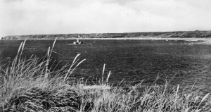
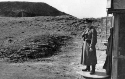
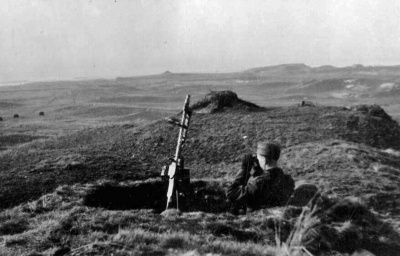
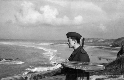 A sentry at L'Oeillere, with the sweep of the bay behind
 -
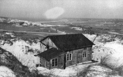
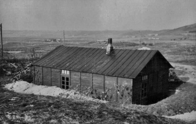
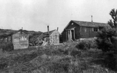
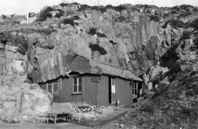 An old hut used for daytime accommodation at L'Oeillere
 -
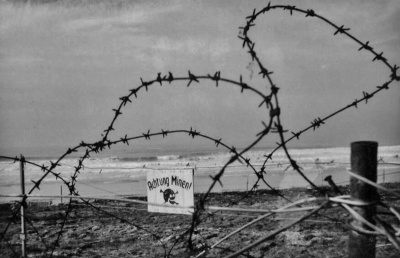 Warning of a minefield at WN La Carriere which, manned by three NCOs and 12 men, covered the southern end of the bay
 -
 Sentry on duty at La Carriere
 -
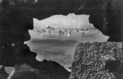
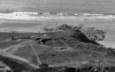 The view out to sea from Wiederstandnest La Carriere at the southern end of the bay
 -
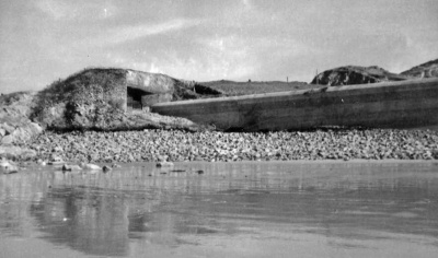
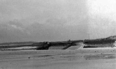 Les Brayes viewed from the sea. Manned by three NCOs and 12 men, this was one of the main defences of the southern end and centre of the bay
 -
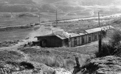 Old huts for daytime accommodation at Les Brayes
 -
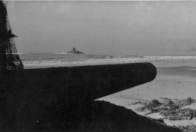
 Looking out to La Rocco Tower from Les Brayes
 -
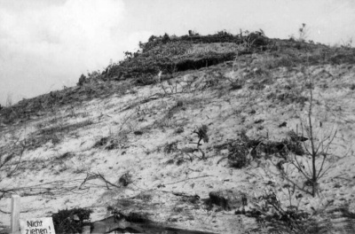 Wiederstandnest Hohe 266 was situated in the dunes back from the coast and, manned by three NCOs and 12 men, covered a large expanse of the bay
 -
 Daytime accommodation at Hohe 266
 -
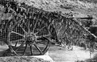
 A camouflaged gun installation at Hohe 266
 -
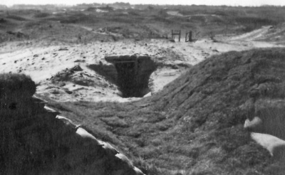 A bunker entrance at Hohe 266
 -
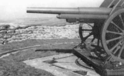 A 10.5 cm field gun at Hohe 266
 -
 An anti-aircraft gun at Wiederstandnews Dune which, as the name suggests, was in the sanddunes at the back of the bay
 -
 Accommodation at WN Dune
 -
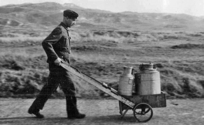 The daily milk collection for WN Dune
 -
 WN Steps, manned by four NCOs and 16 men, was positioned on the coast to defend against attack from the sea, from the low-lying land behind and also to attack overflying aircraft
 -
 WN Steps
 -
 Einsatzstellung Bucht was a mortar and machine gun position above the seawall
 -
 Accommodation at WN La Mare Mill, which was manned by four NCOs and 16 men and could engage attacks from the sea, land and air
 -
 Camouflaged gun at WN La Mare Mill
 -
 WN La Mare Mill
 -
 The original coastal tower, known as High Tower, was demolished to build the new defensive installation, manned by four NCOs and 15 men, covering the centre of the bay against attack by sea, land and air.
 -
 Accommodation at WN High Tower
 -
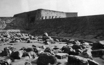
 High Tower viewed from the sea
 -
 Another view from the sea
 -
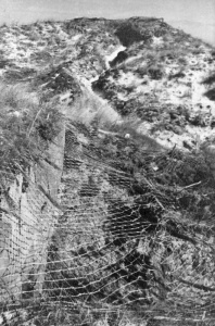
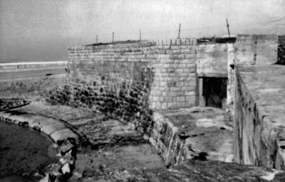
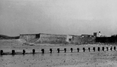
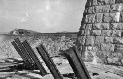 Tank traps at High Tower
 -
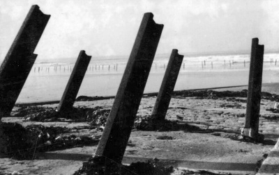 More tank traps


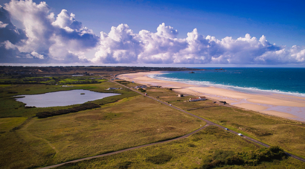
The St Ouen's Bay national park viewed from L'Etacq
