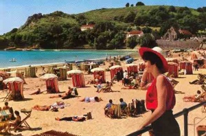
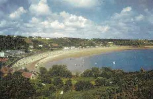
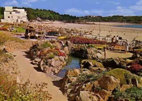
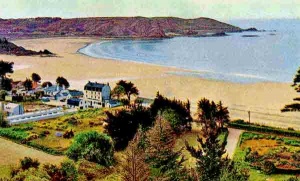
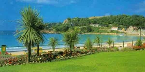
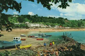
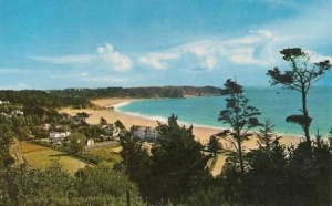
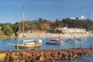
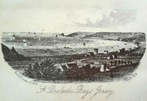
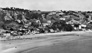
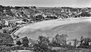
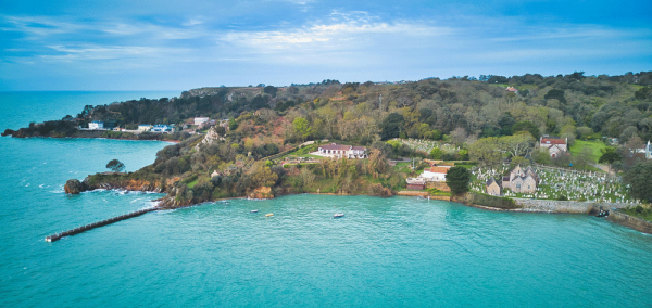
St Brelade's Bay
On the coast
|
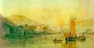
 St Brelade's Bay
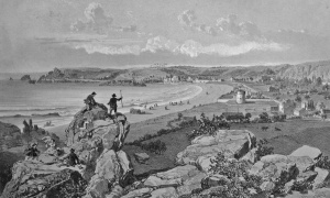
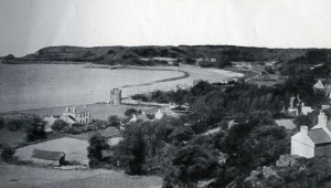
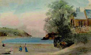
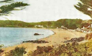
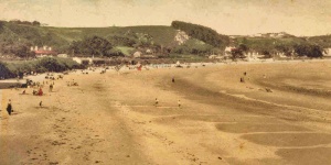
 The bay from an 1890 painting St Brelade's Bay has long been one of the most popular tourist beaches, and today it is built up along its full length. This is a comparatively recent phenomemon, however, and even between the two world wars the bay remained largely unspoilt  to view the location in Google Street View
|

Guidebooks
As late as 1844 the following was published in a guidebook:
- "You who love Nature in her wildest beauty, you pious souls who seek utter solitude to muse on godly things, come to St Brelade's and you will find the object of your search."
Durell wrote in 1852:
- "The bay is enclosed by barren hills covered with heath and furze. The sealine is formed by a sandy down, yet even here the surface is overspread by a dwarfish, creeping rose."
Church
The only building in the bay, probably for centuries, was the parish church, which is on the shoreline at the western end. Quite why it was built here, so far from such centres of population which existed in the 11th or 12th century, is a matter for speculation.
One theory is that in those days the sea level around Jersey's south-west coast was somewhat lower and that there were areas of agricultural land at La Pulente, on St Brelade's St Ouen's Bay coast, which could be reached by walking round the coastline from the church, which was equidistant between that agricultural community, the small village of St Aubin and other farmsteads in the Quennevais Area.
It is perhaps more likely that an earlier chapel had existed where the church was built, which had served a community which sought the isolation of the otherwise uninhabited bay.
A fanciful alternative theory suggests that the original intention was to build a church at Les Quennevais - a more logical location - but the land chosen was special to fairies, who daily moved the workmen's tools and stones to the seaside spot where the church now stands.
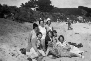
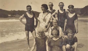
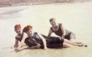
Dressed for the beach

Smugglers
An uninhabited bay with a flat, sandy beach, was the perfect location for smugglers and records suggest that contraband was regularly landed in the 19th century. A British Customs House report of 1823 recorded:
- "On March 17 a Cawsand boat took in at St Brelade's Bay upwards of 300 ankers of brandy. On March 31 a Plymouth cutter took in at the same place upwards of 600 tubs of brandy and geneva. On June 10 a cutter from East Looe took in at the same place 690 casks of brandy, and during the same month a Cawsand boat took away a large cargo of spirits."
Defences
Not only was the bay ideally suited to smugglers' vessels, but there were fears that it may be chosen for an invasion during the periods in the 18th and 19th centuries when Britain was at war with France. Two coastal round towers with 18-pounder guns on top were built in the bay and still survive, but as historian George Balleine wrote in his The Bailiwick of Jersey, that was not all:
- "The sand-dunes were bristling with guns - two 12-pounders on Le Grouin, three 24-pounders where the Hotel l'Horizon now stands, two 12-pounders near the St Brelade's Bay Hotel, three 24-pounders in the churchyard, two more on the point just behind the church, and at each extremity of the bay, at Beau Port and Le Fret, a battery. But when peace came, the gunners were withdrawn and the bay resumed its sleep."


Hotels
The construction of a road from St Aubin, down Mont Sohier into the heart of the bay, and then up La Marquanderie at the western end, encouraged some landowners to build houses, although the relative isolation of the bay ensured that development was still very limited right up to the Second World War.
The Fisherman's Inn, near the church, which had been popular both with fishing folk and, on Sundays, with those attending morning service and not wishing or able to go home and back again for evening service, grew into a large hotel, and some houses were eventually adapted to take in guests and eventually became hotels. Hotel l'Horizon is an example of an establishment which started in this way.
General Boulanger
Among the distinguished visitors to the bay were General Georges Boulanger, whose own political party became very successful in late 19th century France and was thought to be on the verge of staging a coup d'etat when he fled the country when a warrant was issued for his arrest. He spent two years in a house in St Brelade's Bay before committing suicide over the grave of his former mistress in Belgium in 1891.
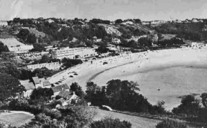
Post-war development
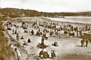
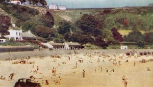
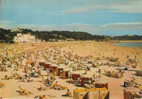
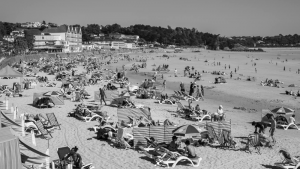
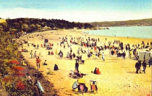
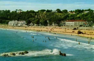
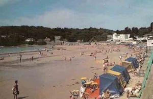
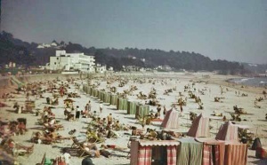
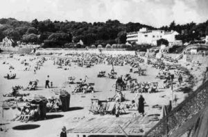
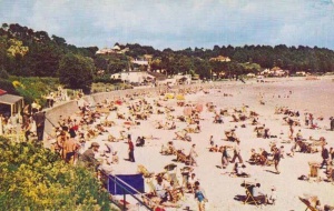
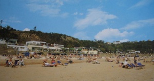
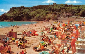
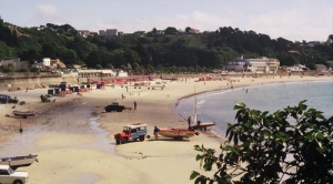
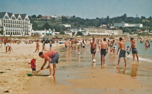
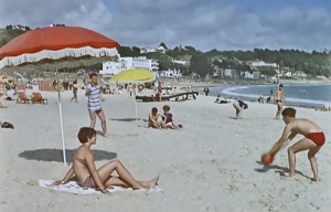
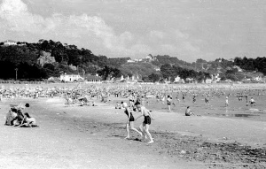
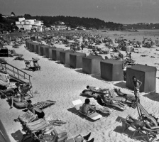
After the Second World War, which saw the construction of a substantial seawall by the Germans, where sand dunes had previously swept down to the beach, a rapid process of tourism-based development saw St Brelade's Bay established as the most popular island beach with locals and tourists alike. At the peak of the tourism industry from the 1960s to 1990s the beach would be packed tightly from seawall to the sea along its whole length with sun-worshippers.
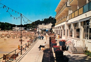
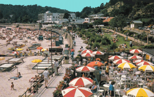
Today the beach remains almost as popular and the bay is extensively developed with hotels, cafes, restaurants, private houses and apartment blocks, and every spare space in between is given over to car parks.
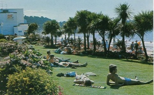
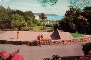
Parks and gardens
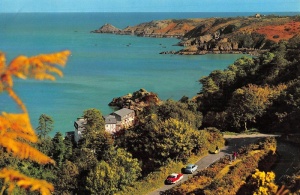
This development is interrupted only by colourful gardens alongside the seafront promenade and the quiet oasis of the Winston Churchill Memorial Garden in the backdrop of the bay, a tribute to Britain's wartime leader.
Other articles
- A history of St Brelade's Bay from the Jersey Archive What's your street's story? presentations Added 2016
- 'Pop' Newman

360-degree panoramic views
St Brelade's Parish Church and the bay

-
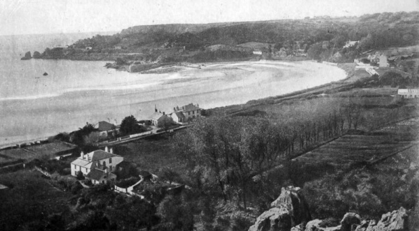
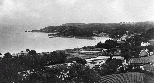
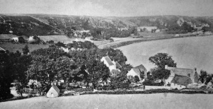
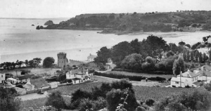
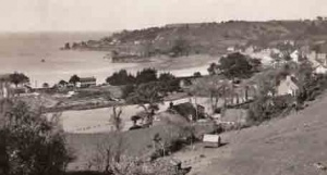
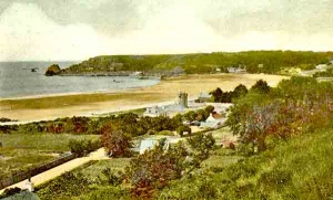
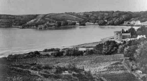
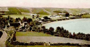
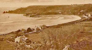
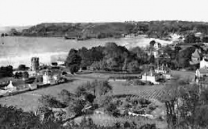
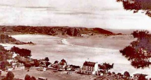
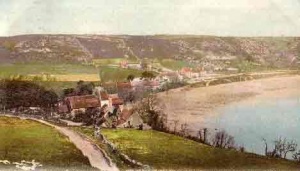
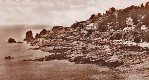
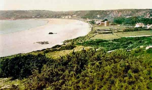
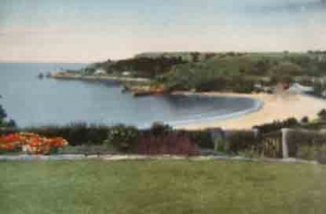
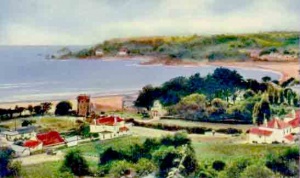
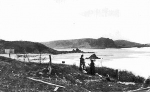
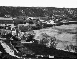
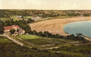
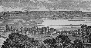
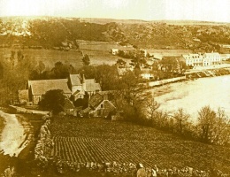
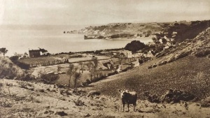
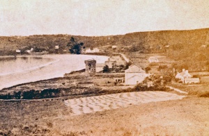
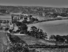
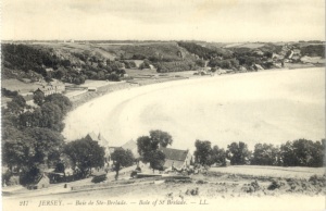
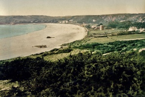
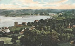
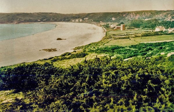 This tinted photograph shows that before the bay was developed for tourism, it was a fertile, coastal plain with a network of small fields, as well as dunes and heath land
 -
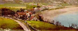
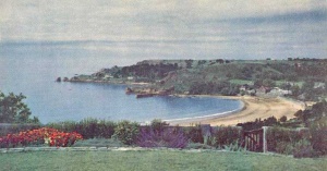
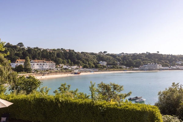 Looking east from the garden of Clos du Coleron in 2023


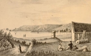
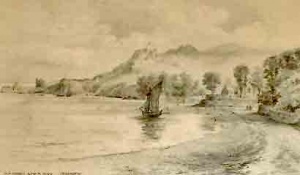
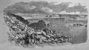
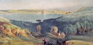
Early 1800s
Three sketches of the bay and its aproaches by artist Henry Irwin, dating, it is believed, to the first decade of the 19th century


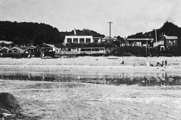
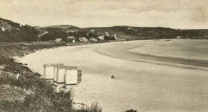
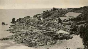
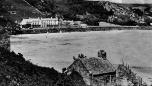
Pre-war
Beach bungalows and early cafes, and no seawall
-
-
-
-
-
-
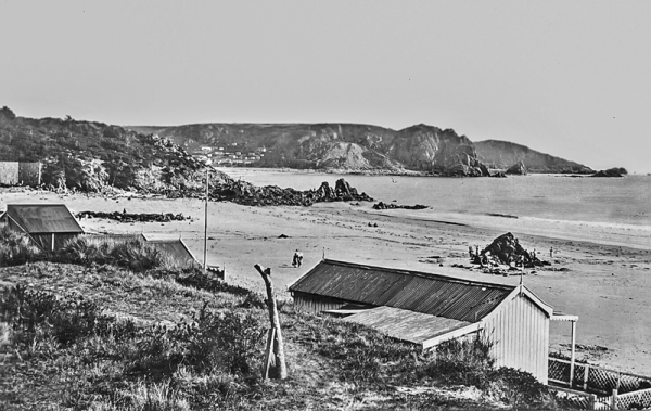
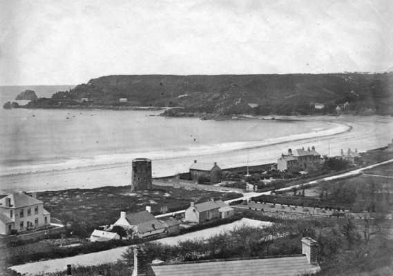
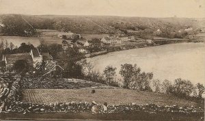
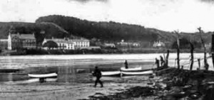
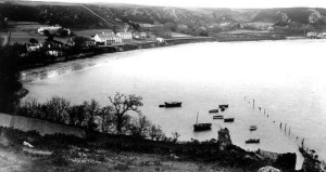
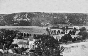
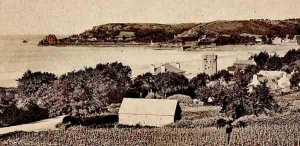
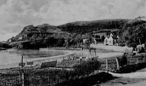
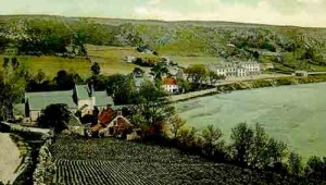
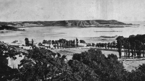
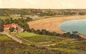
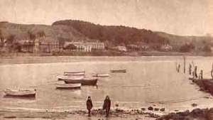
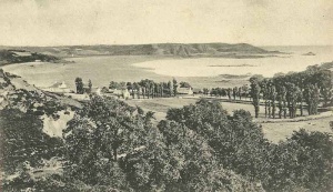
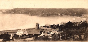
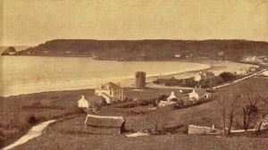
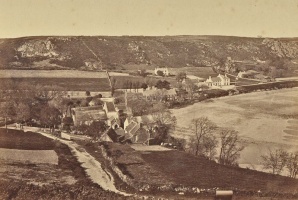
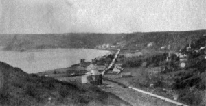
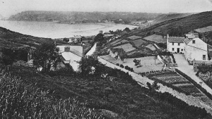
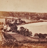
 The bay viewed from Mont Sohier in 1870


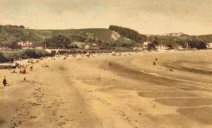
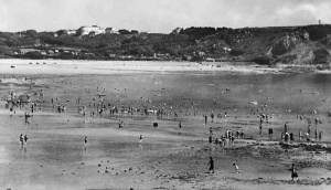
Early 20th century views
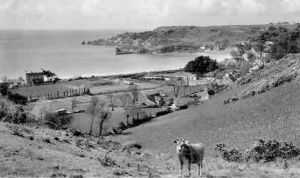
These six images showing similar views of St Brelade's Bay illustrate clearly how little development there was in the bay, even as recently as the 1950s.
-
 1920
1920 -
 1920s
1920s -
 1932
1932 -
 1920s
1920s -
 1930s
1930s -
 1954
1954


Click on images below to see larger picture
-
 Beach tents in 1904
 -
 An 1870 etching by Benoist
 -
 19th century slide
 -
-
-
-
-
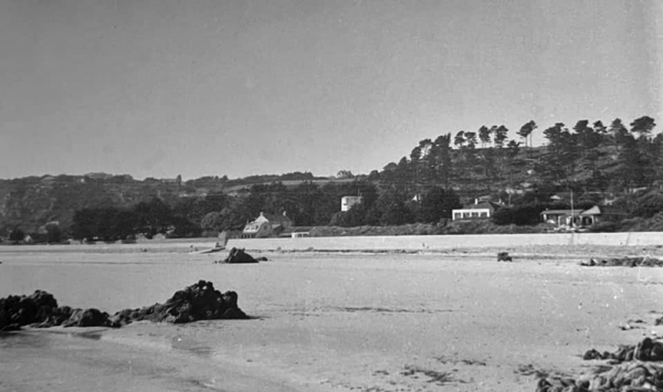
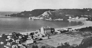
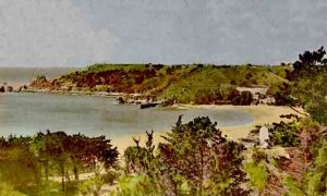
 Ouaisne and St Brelade's Bay in the 1930s
 -
 1930s
1930s -
-
-
 1940s
1940s


-
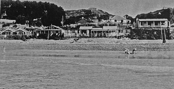
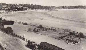
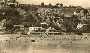
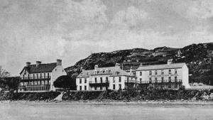
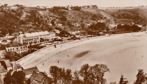
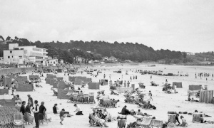
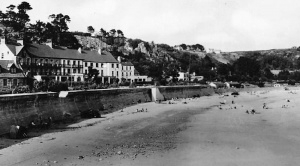
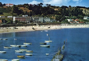
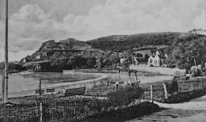
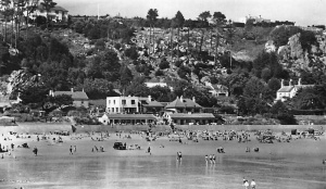
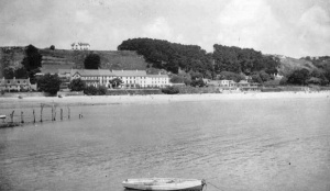
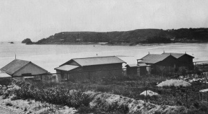
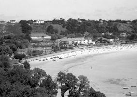
 Hotels in a sparsely developed bay
 -
 The bay in winter
 -
 1950
1950 -
 1915
1915 -
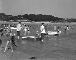
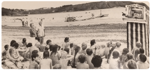 Punch and Judy on the beach in the 1960s
 -
 1950 holidaymaker's photograph
 -
 1910
1910 -
 1925
1925 -
 An advertising photograph taken by Michael Bellee in 1964 ...
 -
 ... and another on the tideline
 -
-
 The bay in 1929


-
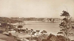
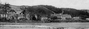
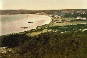
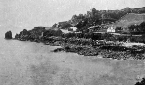
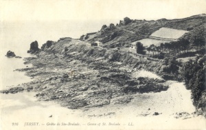
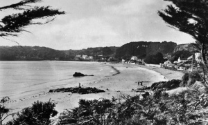
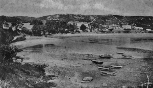
 No development whatsoever in the 19th century
 -
 A large heated glasshouse next to St Brelade's Bay Hotel
 -
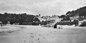
 Beach huts in front of the hotel


-
-
 1920s
1920s -
 1930
1930 -
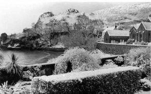 Snow covers the bay, photographed by Claude Cahun
 -
 A Tuck postcard of the bay
 -
 1950s
1950s -
 A 19th century photograph by Ernest Baudoux
 -
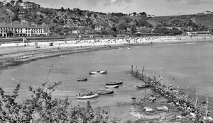
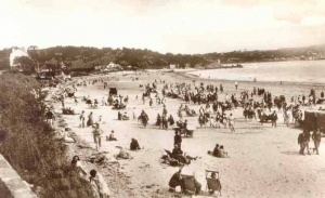
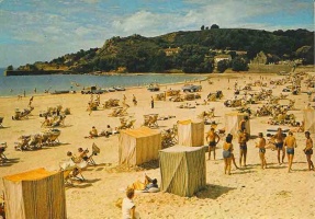
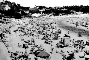
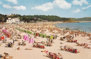
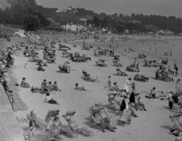
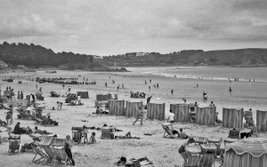
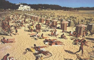 A packed beach in 1966
 -
-
-
 1948
1948 -
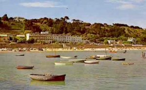
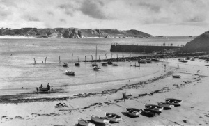
 St Brelade’s and Ouaisne Bays in the 1960s
 -
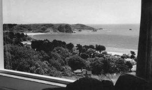 A picture window view of St Brelade’s and Ouaisne Bays
 -
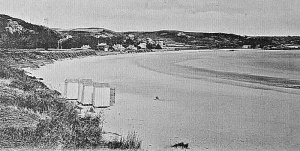
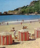
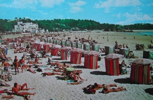
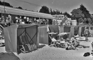
 Beach tents at St Brelade’s Bay
 -
 Beach tents at St Brelade’s Bay
 -
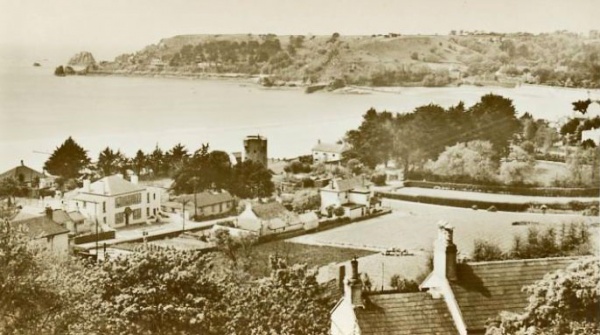
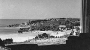 Looking down on St Brelade’s Bay
 -
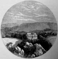
 The house in St Brelade’s Bay where one of the earliest photographers, Thomas Sutton, set up his studio in 1846
 -
 A 1948 photograph
 -
 A drawing by J T Satterley
 -
 A photograph by Godfray
 -
 From La Société Jersiaise photographic archive
 -
 1910 photograph from amateur photographer G W McDougal's album held by Jersey Heritage
 -
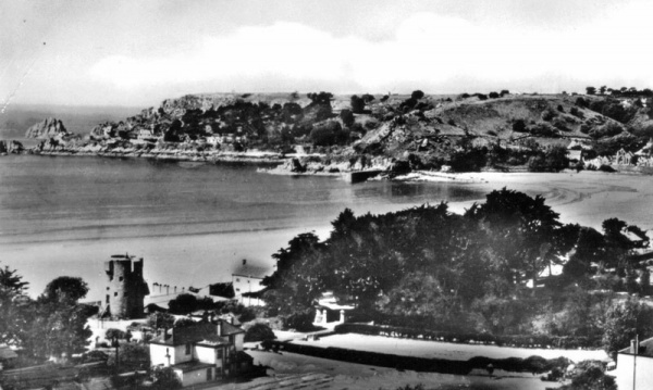
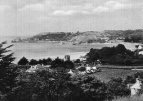
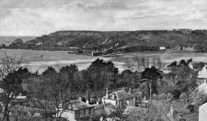
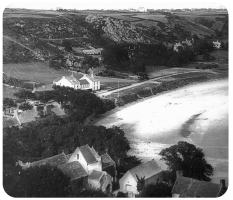
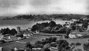
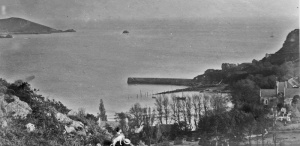
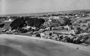
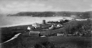
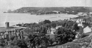
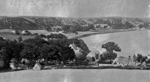
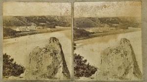
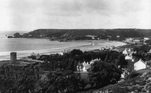
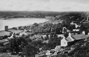
 View from above the parish church


-
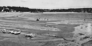
 Parking was still allowed on the western end of the beach in the 1950s
 -
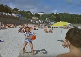
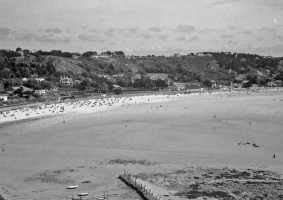
A busy beach in the 1970s
-
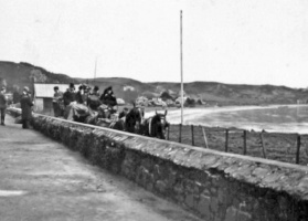
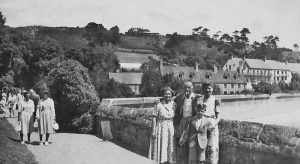
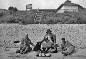
 A Victorian outing
 -
-
-
-
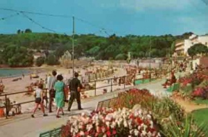
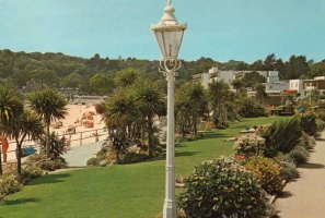
 The promenade gardens
 -
-
-
-
-
-
-
-


-
-
-
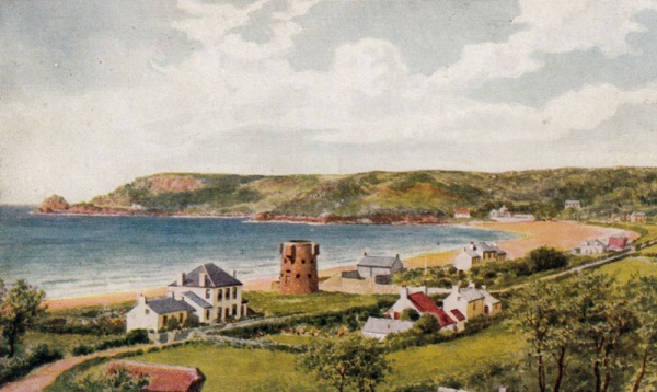
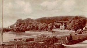
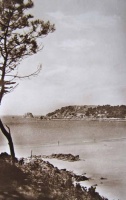
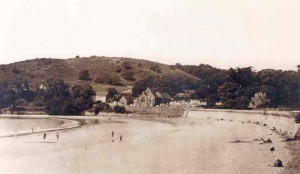
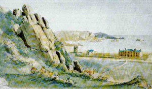
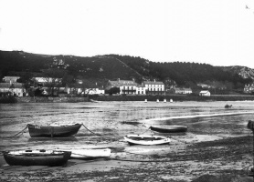
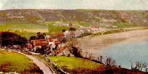
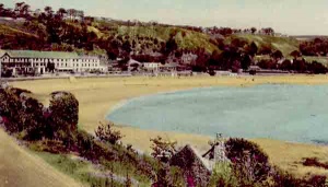
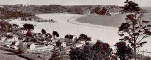
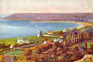
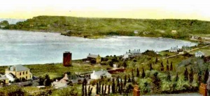
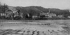
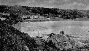
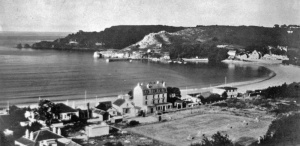
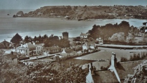
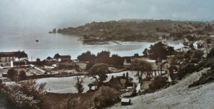
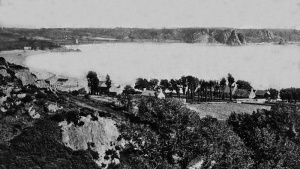
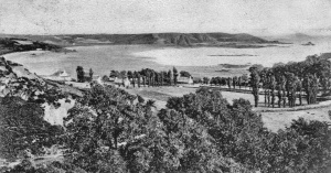
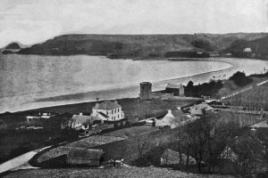
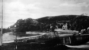
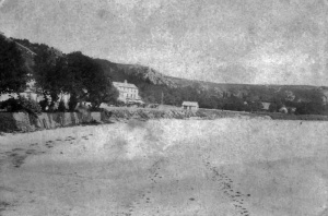
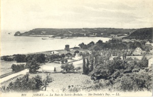
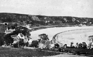
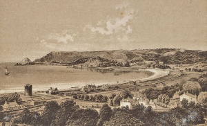
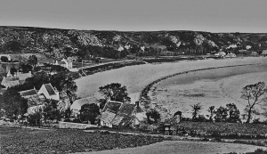
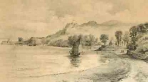
 St Brelade's Bay in 1890
 -
-
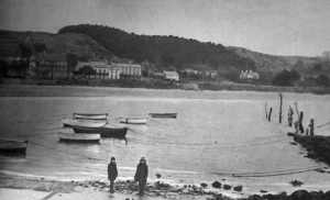
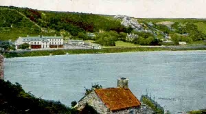
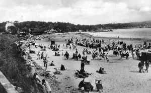
 A quiet, undeveloped bay in 1906
 -
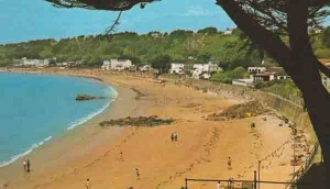
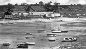
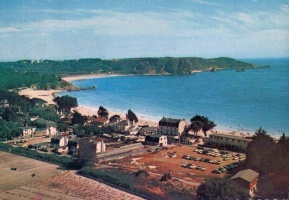
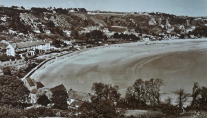
 The bay in 1959
 -
 A 1977 picture
 -
-
-
-
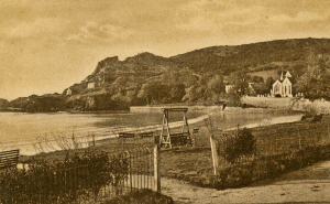
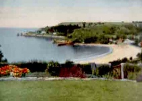
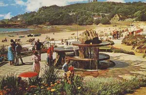
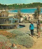
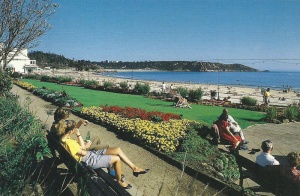
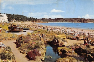
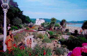 The seaside gardens
 -
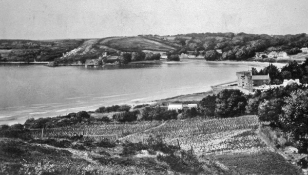
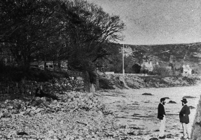
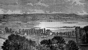
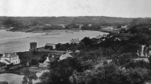
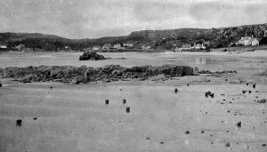
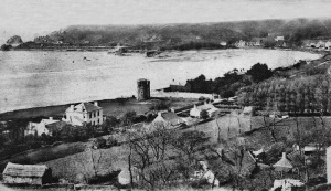
 The bay in 1862
 -
-

-
-
-
-
-
 A 19th century lantern slide
 -
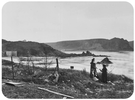
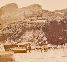
 The western approach to the bay photographed by Caroline Slater in the mid-19th century


.png)


-
-
-
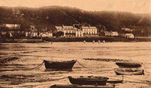
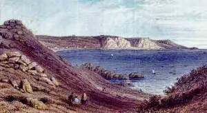
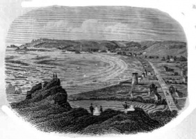
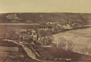
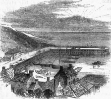
 The bay in 1857
 -
-
-
 The bay in the 1920s
 -
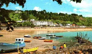
 The bay in the 1960s ...
 -
 ... and another 1960s view
 -
-
-
-
-
-
-
-


-
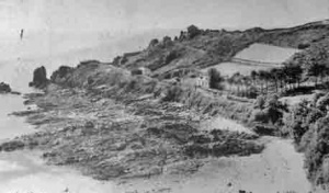
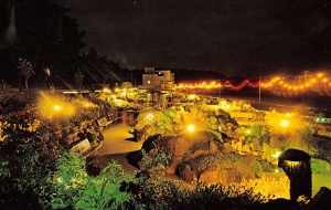
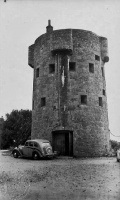
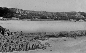
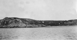
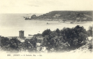
 Beauport Battery at the western end of the bay
 -
 Beauport Battery
 -
-
-
-
-
 The bay in 1865
 -
 The bay in the 1960s
 -
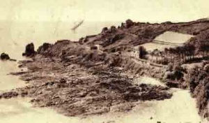
 Beauport Battery
 -
-
-
-
The bay in 1929
-
 The bay in 1963
 -
 The bay in 1968


-
 A 1949 photograph
 -
-
-
-
-
 A picture from 1955
 -
 St Brelade's Bay photographed by Henry George Allix
 -
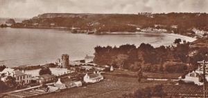
 The bay in 1882
 -
 1960s
1960s -
 Greve de St Brelade 1907
 -
 Greve de St Brelade 1910
 -
 The bay in the 1930s
 -
 1957
1957 -
 1960s
1960s -
 An undeveloped bay in the mid-19th century - picture by Ernest Baudoux


-
-
-
-
-
-
-
-
-
 1913
1913 -
-
 1960s
1960s -
-
-
-
-
-
-
 1902
1902 -
-
-
-
-
1913
-
 1930s
1930s


-
 1961
1961 -
-
 1907
1907 -
 1971
1971 -
 Hinde postcard
 -
 A photograph of the bay, not a postcard, taken around 1900
 -
-
-

-
-
-
-
 1970s
1970s -
-
 St Brelade's Bay
 -
 1930
1930 -
 1939
1939 -
 A picture by Ernest Baudoux
 -
 A picture by Ernest Baudoux
 -
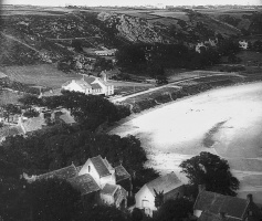
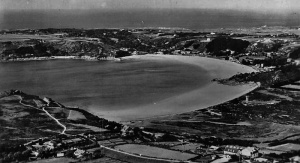
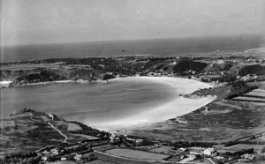 1933 aerial photograph by Aerofilms
 -
 1933 aerial photograph by Aerofilms
 -
 1933 aerial photograph by Aerofilms
 -
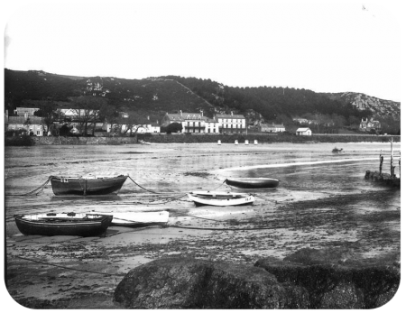
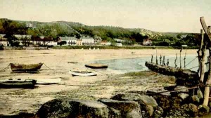
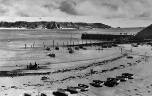
 1900 - the jetty was much longer than it is now and the sea wall had not been built. Plants can be seen growing right down to the beach
 -
 1930s
1930s


-
 1920s or 30s
 -
-
 1900
1900 -

-
 1870s
1870s -
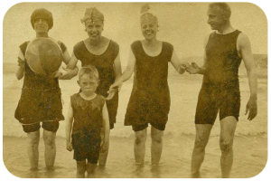
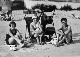 A family group on the beach in the 1930s
 -
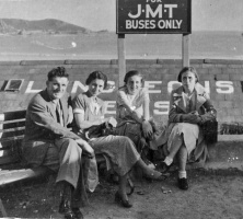 JMT bus stop
 -
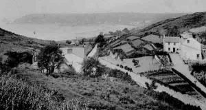
 Le Coleron headland
 -
 Albumen print of the bay
 -
 1909
1909 -
 1880s
1880s -
 1890
1890 -
 The beach in 1930
 -
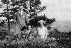 A family photograph above the bay in 1930
 -
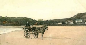 Horse and cart in St Brelade's Bay
 -
 1882
1882 -
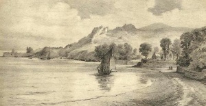
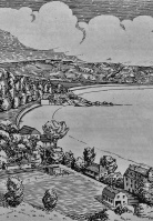
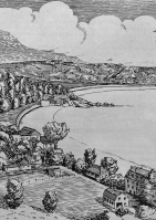 A sketch of the bay
 -
 1903 - photograph by Albert Smith
 -
-
 1965
1965 -
 1900
1900 -
 1980s
1980s -
 1924
1924 -
 1903
1903 -
-
 1955 - Evening Post picture
 -
 1955 - Evening Post picture
 -
 1955 - Evening Post picture
 -
 1964
1964 -
 1964
1964 -
 1978 - Evening Post picture
 -
 1978 - Evening Post picture


-
-
 1914
1914 -
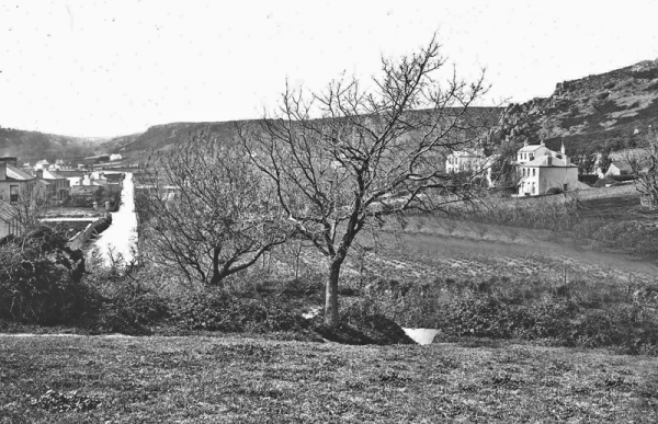
 Mont Sohier
 -
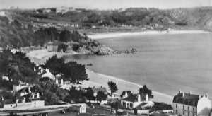 St Brelade's Bay with Ouaisne behind
 -
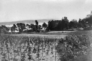 Tomatoes growing in St Brelade's Bay
 -
 Before the sea wall was built
 -
-
 1890s
1890s -
 View from the sea in 1900
 -
 Before the seawall was built and land reclaimed behind it, some properties had their own protective walls and direct access to the beach
 -
 1894
1894 -
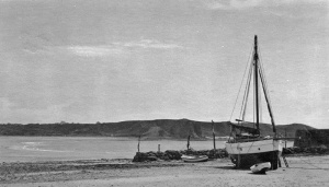
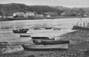
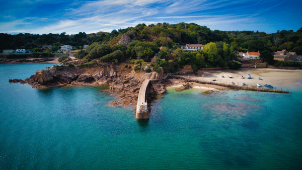
 The jetty at the western end of the bay
 -
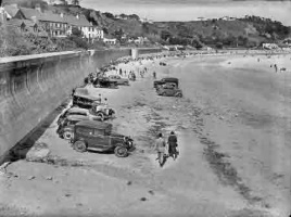
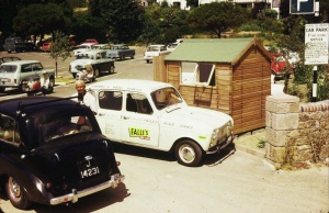 Car park in the 1970s
 -
 Les Creux, 1893
 -
 Hutton photograph
 -
 Hutton photograph
 -
 19th century
 -
 1903
1903


-
 1956
1956 -
 1977 - Picture Jersey Evening Post
 -
 1870s
1870s -
-
 LL postcard
 -
 LL postcard
 -
 LL postcard
 -
 LL postcard
 -
 Philip Godfray photograph
 -
 From a 1961 tourism brochure
 -
 A busy beach in 1965
 -
-
 The bay with Ouaisne in the background
 -
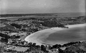
 An Aerofilms aerial photograph showing Ouaisne in the foreground and St Brelade's Bay behind
 -
-
-
 The seaside gardens in 1966
 -
 An 1855 etching
 -
 Mont Sohier is the hill leading to the eastern end of the bay


-
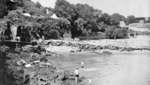
 A rare picture showing bathing huts in the bay
 -
 The bay in 1905
 -
 A view from the eastern end of the bay
 -
-
 The gardens in 1910
 -
 1906
1906 -
 1923
1923 -
 1923
1923 -
 1875 print
 -
 1920s
1920s -
 1920s
1920s -
 1920s
1920s -
 Picture courtesy of Facebook group Jersey Temps Passe
 -
 A view from the sea
 -
 A drawing showing the new sea wall constructed by the Germans during the Occupation
 -
 This photograph, taken by Henry Mullins in the 1860s, is believed to be one of the earliest surviving of St Brelade's Bay, but the exact location is unknown
 -
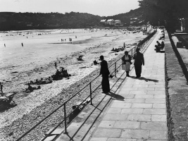
 Strolling along the seafront on a sunny day in 1950
 -
 1930s
1930s -
 1930s
1930s -
 1930s
1930s -
 1932 - no seawall yet. The photograph was taken in front of the Chateau Rocozanne Hotel
 -
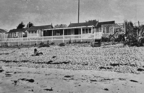
 Seaside bungalows which were removed by the Germans during the Occupation and not allowed to be replaced after the war
 -
-
 1859
1859 -
 1950s
1950s -
 1950s
1950s -
 1950s
1950s -
 1869
1869 -
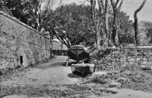 The slipway next to the church at the western end of the bay
 -
-
-
 1950s
1950s -
 1955
1955 -
-
 1978
1978 -
 1970s
1970s -
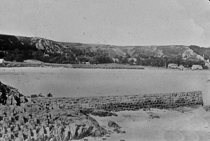
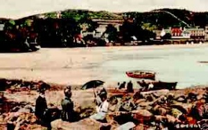
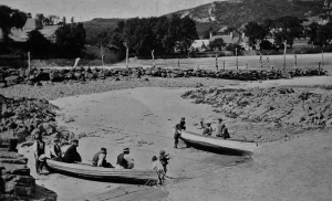
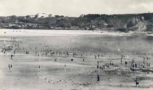
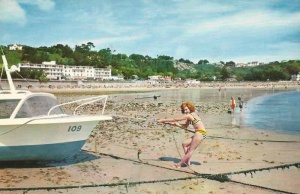
 The bay was once popular with smugglers


St Brelade’s Bay development


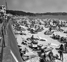
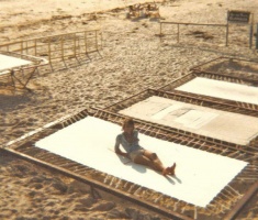
The 1976 heatwave
The summer of 1976 was one of the longest and hottest on record. These pictures were taken by a Jersey Evening Post photographer on the beach in St Brelade's Bay at the height of the heatwave


1979
And more pictures from the Jersey Evening Post in 1979


-
 Two more Paul Lakeman images from 2024
 -


German Occupation
These pictures of the bay during the German Occupation come from an official German army collection. For the full set of pictures of German installations across the whole of the island, follow this link
-
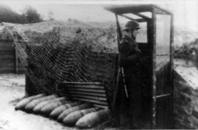 Le Grouin sentry post
 -
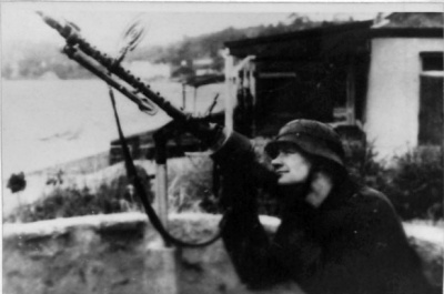 Machine gun at Le Grouin
 -
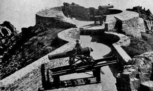
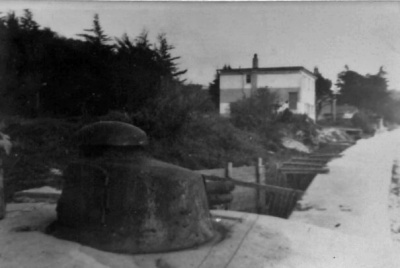 St Brelade's Bay gun turret


