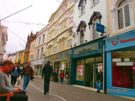
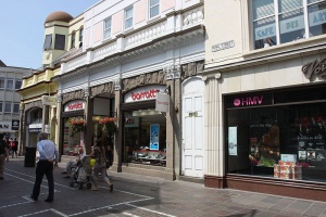
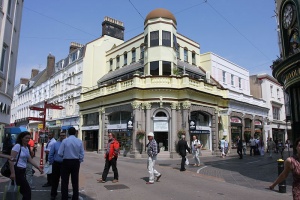
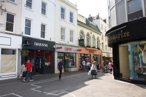
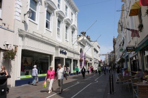
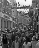
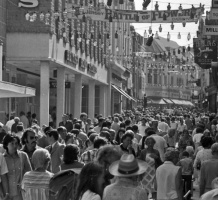
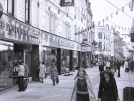
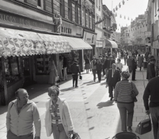
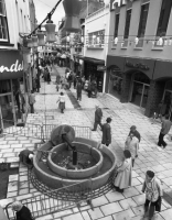
King Street

King Street

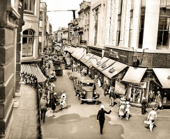
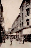
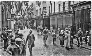
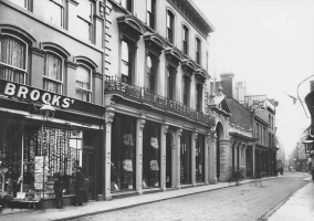
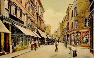
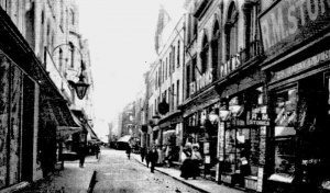
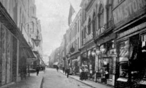
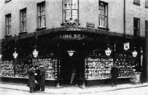
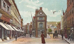
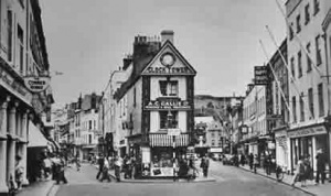
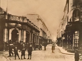
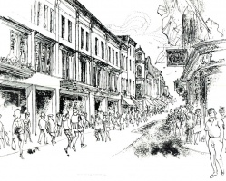
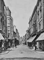
King Street in 1921
King Street is the main shopping area in St Helier, Jersey's capital, but it was not always so. Originally there were meadows and swamps on the north side, followed by a handful of smart town houses

Many people find it surprising, when they see the street name boards today, that King Street, St Helier's premier shopping street, should once have been known as Rue de Derrière (the road at the back), but that is exactly what the street once was.
Meadows
Until the town of St Helier began to expand in the 19th century, there was little or nothing to the north of the Royal Square except meadows and swamps. King Street was an unpaved lane at the back of the houses forming the north side of the square, where the weekly market was held.
The main entrance to the square was from Broad Street at the western end. The principal route from Charing Cross to what was then the centre of the town was along Broad Street, lined with important buildings on either side, and King Street faced the countryside.
Precinct
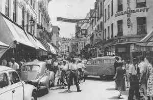
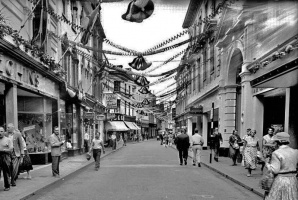
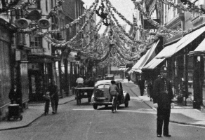
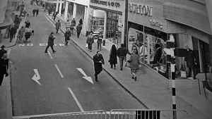
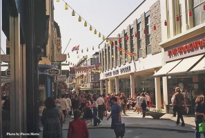
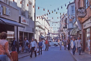
How things have changed over the decades. For a long period King Street became a busy thoroughfare, carrying horses and carts, and then the motor car, buses and other vehicles, from the west of the town to the east, but in the 1970s enlightened politicians had the courage first of all to ban through traffic, and then to pave the street as the town's first pedestrian precinct.
It was a slow process. At the beginning, in December 1971, a trial was conducted by barring traffic from the section from Halkett Place to Don Street, in front of Burton's, Woolworth and British Home Stores and cars were allowed to drive up the street from Charing Cross as far as Don Street. The pedestrianised area was not paved at the outset, just in case public opinion forced a change of mind and vehicles were again admitted. But the Jersey public was firmly in support of banning cars from the centre of their town, although the pedestrian area has not spread nearly as far as it was first envisaged might happen. Traffic was barred from the full length of King Street by 14 June 1974, and the street was then paved. The initial paving was replaced some time later with a smarter finish, which is still in place today.
On 18 April 1977 vehicles were prohibited from using Queen Street for a trial period and the town centre precinct continued to spread.

Which king?
The history books are silent on exactly when the street's name changed from the old French to King Street, so it is not clear which King was being honoured. The Town of St Helier, the definitive work on the history of the town by Edmund Toulmin Nicolle, covers old and new street names, but is strangely silent on the timing and origins of many of them. King Street is completely ignored in George Balleine's work The Bailiwick of Jersey.
Some suggest that the change may perhaps have come about at the same time that the statue of King George II was erected in the Royal Square, but this was 1751, some considerable time before Rue de Derrière ceased to be an insignificant back street. There are plenty of references to the original name well into the 19th century. An article in The Pilot, a Jersey church magazine, in 1971, (it has been suggested that the article, which was unattributed, was written by Balleine, but this cannot be confirmed) suggested that King Street was named in honour of George III, and Queen Street in honour of his wife, Queen Charlotte. This would place the change to between 1760 and 1820 - George III had a particularly long reign, the longest of any British King. This suggestion is also made by Raoul Lempriere in his 1980 work Buildings and Memorials of the Channel Islands in which King Street merits a mere two paragraphs.
However, a set of cards showing views of the island which were produced for Ching's cigarettes in the 1950s suggested that King Street was named after William IV, King from 1830 to 1837, and Queen Street after his niece and successor, Queen Victoria. This suggestion has been discredited by further research - see below.
Update
Further research led us to believe that all these suggestions are wrong, and that Rue de Derriere became King Street in 1828, when George IV was on the throne.
We discovered a minute of the St Helier Roads Committee - a very powerful body at the time - which, on 9 May 1820, gave permission for the rebuilding of the house in Rue de Derriere owned by the heirs of Jean Francois Montbrun. The permit was subject to the roadside wall of the property being realigned to match the neighbouring properties owned by Pierre Joste and Dr Fixott. If the minute of the Roads Committee called the street Rue de Derriere, then that is what it was, because it is that committee which, over a long period, was responsible for any decisions relating to the naming of the town's streets.
The change must have come about between 1820 and 1837, the period which covered the reigns George IV and William IV.


This can be narrowed still further to 1827-1837, as evidenced by another document relating to street names and numbers, which has been brought to our attention.
On 8 May 1827 the Lieut-Governor of the day, Major-General Sir Colin Halkett, a hero of the Battle of Waterloo, who had held his Jersey office since 1820, wrote to the recently appointed Bailiff of the day, Sir Thomas Le Breton, to point out that the absence of clearly visible street names and a numbering system for properties resulted in 'much public inconvenience being daily experienced' and politely, but nevertheless firmly, suggesting that Sir Thomas raise the matter at the next sitting of the States. Perhaps Sir Colin was motivated by events two years earlier, when Halkett Place, named in his honour, was opened, but without any numbering of properties. It had previously been known as Market Street, according to an 1800 plan for the old Government House on the corner with King Street, which Sir Colin decided was not fit for him to live in.
Although we have so far not been able to ascertain exactly what happened following this intervention, it seems that the matter was referred to the States, and in time-honoured tradition a committee was appointed to look into the whole question of naming of streets and numbering of properties. No record has been found of any decision, but it is more than likely that this resulted both in the change of names of some streets from their old French titles to new English ones and the introduction at the same time of property numbers. [1]
Records of insurance policies for properties in the street indicate that they were being issued for Rue de Derriere in the middle of 1828 and for King Street in January 1829. No record has been found of any further involvement by the St Helier Roads Committee, but it is possible that decisions on such a major issue as the renaming of numerous town streets and the introduction of numbers was taken by the States.
Further update

The discovery of a 1788 advert in Gazette de l'Ile de Jersey in which Helier Messervy offered two town houses for sale, one on 'rue des vignes' (Vine Street) and one on 'rue du roi, ou rue de derriere' indicates that both names were used for the street much earlier than the Roads Committee records suggest. The official name may have been Rue de Derriere well into the 19th century, but 'Rue du Roi' (King Street) was clearly in common use much earlier. And business adverts also indicate that Rue de Derriere was used for Queen Street, confirming that both streets were officially renamed at the same time, after the relative monarch and his queen.
Street widening
The Roads Committee also had considerable powers over building work in the town. There were no islandwide planning procedures at this time. There would not be any for over a century. But there were strong moves to widen the town's streets, many of which were barely wide enough to allow the passing of two horse-drawn carts. The process of requiring realignment of property frontages whenever any building work was undertaken operated side by side with efforts for the authorities to acquire properties, either by agreement with the owner or compulsory purchase, if necessary, so that the widening of streets would not have to await building projects.

Businesses
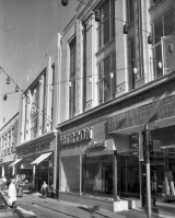
Many of the businesses in King Street today are branches of multiples which can be found in many other high streets in the British Islands, but there are others which are unique to Jersey and have been trading for a century or more.
Notable long-established businesses still trading, and others which have now disappeared, include:
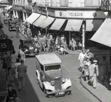
- Voisin's
- Abraham de Gruchy
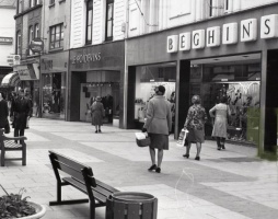
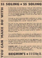
- Beghin's a shoe shop started in the mid 19th century by a French family and still bearing their name when it closed down in the 2020s.
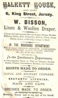
- Hamon's - A haberdashery and ladies' wear shop at 37-39 King Street selling curtain fabrics and fittings, household textiles, haberdashery and 'rather old-fashioned women's underwear and nightwear'
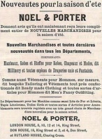
- Noel and Porter - department store building was sold to British Home Stores in 1966. The origin of the business was in the drapery business of Mr Porter.
- Hotel du Palais de Cristal, the hotel which once stood in King Street
Property histories
We have created a series of histories of all the shops in King Street. Follow the links in the list below to articles on individual properties. One factor worth noting in these articles is the number of businesses run by English and French immigrants to the island. There are very few records of any shops at all in St Helier until very late in the 18th century. Business was carried out at harbour and in the market in the Royal Square and then the new premises in Halkett Place, and as the growing population of the town in the early years of the 19th century created a demand for retail outlets, these were mainly provided by outsiders who settled in the island with their families.
Street history
- King Street traders in 1834
- King Street in 1851 and 1861
- King Street traders in 1857
- King Street traders in 1880
- Growth of St Helier 1737-1834
d'Auvergne plaque


-
-
-
-
-
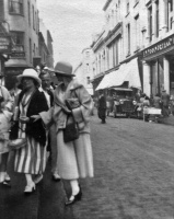
 1930s
1930s -
 Woolworth's
 -
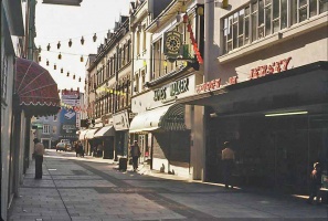
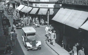
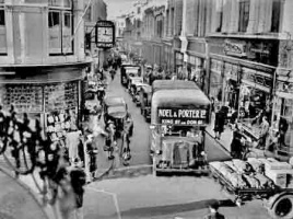
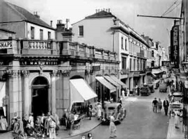
 King Street in 1942
 -
 1939
1939 -
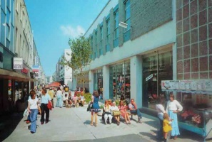
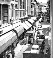
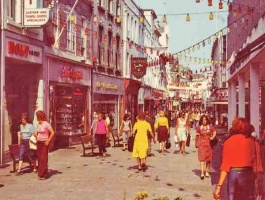
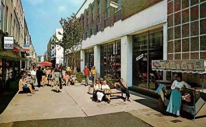
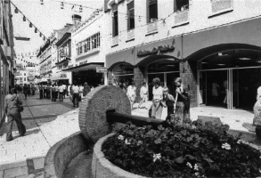
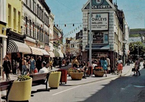
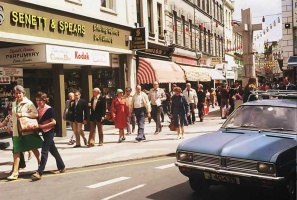
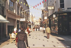
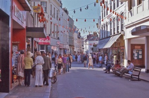
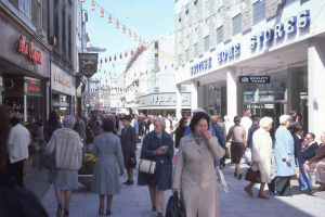
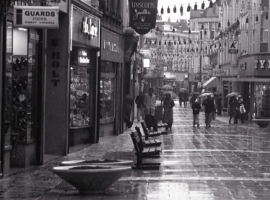
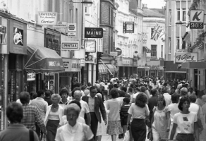
 The precinct in the 1970s
 -
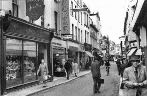
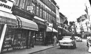
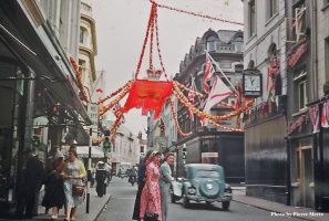
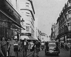
 1953
1953 -
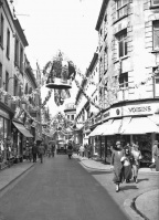
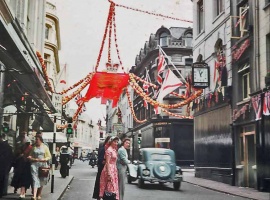
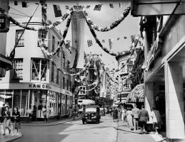
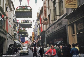
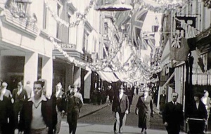
 1953 Coronation celebrations
 -
-
-
-
 Building a Le Riches shop in King Street
 -
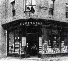 Making the corner with King Street, Piquet's pharmacy was originally numbered 1 Halkett Place, later becoming No 11


.jpg)


-
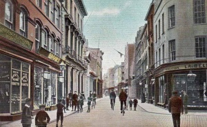
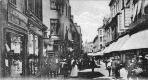
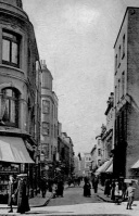
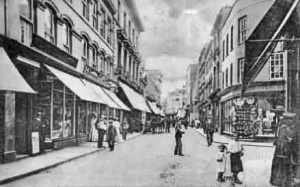
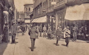
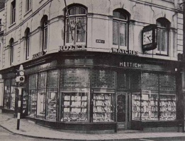
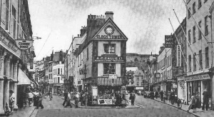
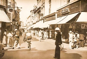
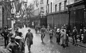
 The street in Edwardian times
 -
-
-
 1914
1914 -
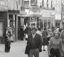
 1977
1977 -
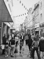
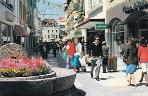
 Pedestrian Precinct
 -
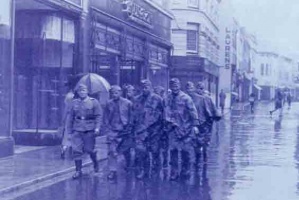 During the Occupation
 -
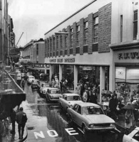
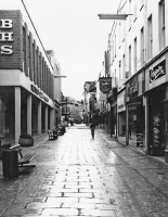
 The precinct outside British Home Stores
 -
 King Street in 1946
 -
-
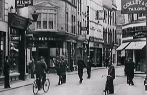
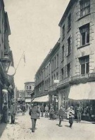
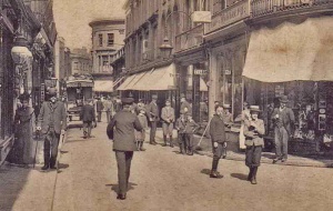
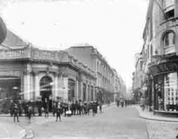
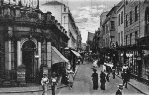
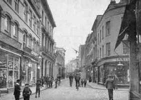
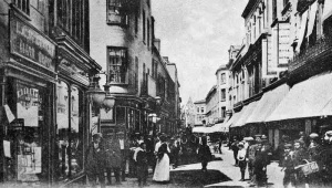
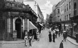
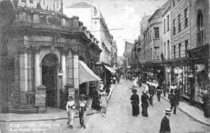
 King Street in 1911
 -
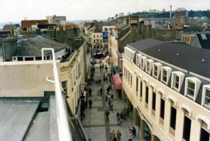
 1960s, a view from the upper floor of No 17
 -
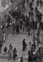
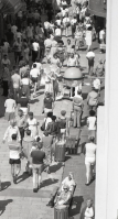
 A busy street, but all the shops were shut. We wonder why?
 -
-
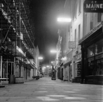
 December 1980. Picture Jersey Evening Post
 -
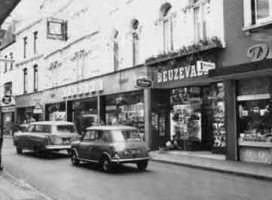
 1963
1963


-
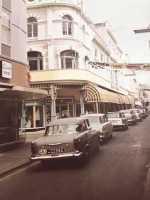
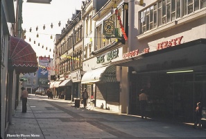
 1960s
1960s -
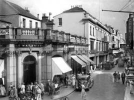
 Noel and Porter
 -
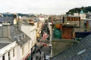
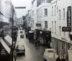
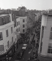
 Looking down the street from the Halkett Place junction
 -
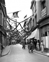
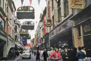
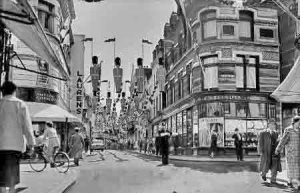
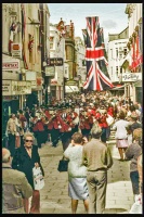
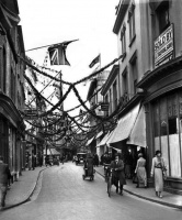
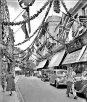 King Street decorated for the coronation in 1937
 -
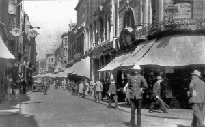
 King Street in 1940
 -
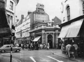
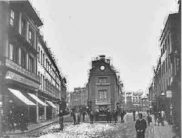 Charing Cross divides into King Street (left) and Broad Street
 -
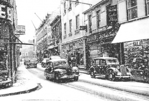
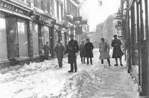 Rarely has King Street been covered in such a deep layer of snow
 -
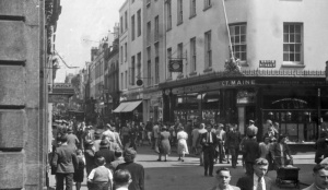
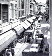
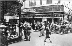
 Burton's, Woolworth and the awnings of Noel and Porter beyond
 -
 King Street photographed by Albert Smith
 -
 King Street in 1947
 -
 King Street in 1953
 -
 King Street in 1953


-
 Queen Street viewed from the end of King Street in 1953
 -
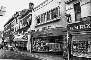
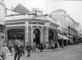
 King Street in the 1950s
 -
-
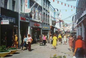
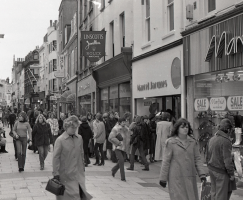
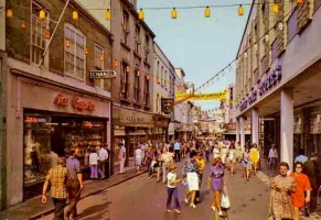
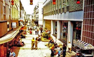
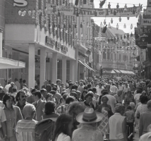
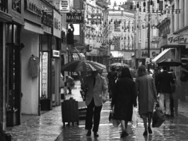
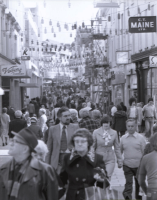
 King Street in the 1970s
 -
 King Street in the 1970s
 -
 King Street photographed by Albert Smith
 -
 King Street photographed by Albert Smith
 -
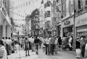
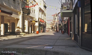
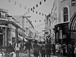
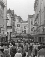
 The pedestrian precinct
 -
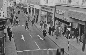
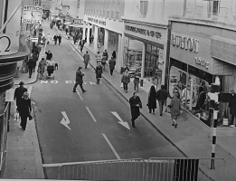
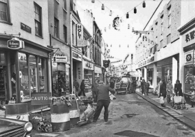
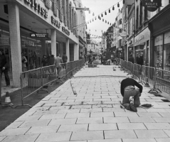
 The precinct at the beginning. Cars are barred from the eastern end of the street but it has not yet been paved over
 -
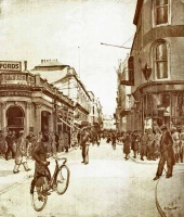
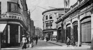
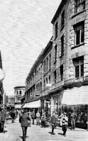
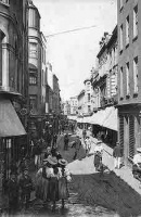
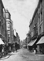
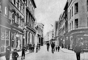
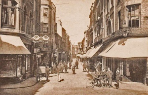
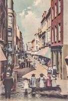
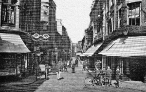
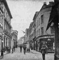
 The street in 1907
 -
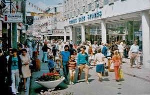
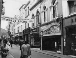
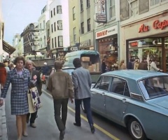
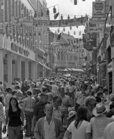
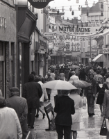
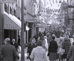
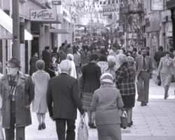
 1970s
1970s -
 1982 - Picture Jersey Evening Post


-
 1955
1955 -
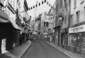
 The early days as a pedestrian precinct
 -
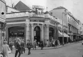
 British Home Stores
 -
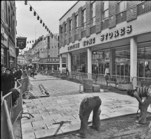
 The start of the paved precinct
 -
-
 1903
1903 -
 1920
1920 -
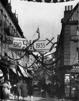 The street in 1935, decorated for King George V's jubilee
 -
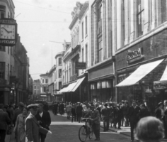
 The street in the early years of the 20th century
 -
-
1946
-
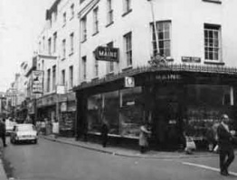
 1962
1962


.jpg)


-
 1963
1963 -
-
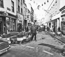
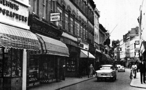
 RM Stores, part of the Ready Money grocery store group, in the foreground on the right
 -
-
-
-
-
-
-
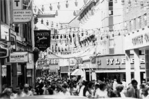
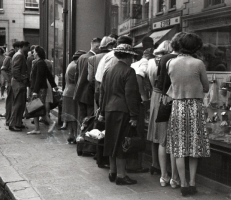
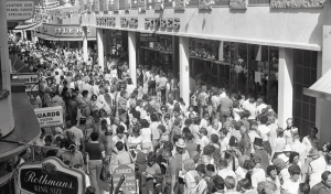 Queue for Battle of Flowers tickets in August 1979 - Picture Jersey Evening Post


-
-
 1968
1968 -
 1977
1977 -
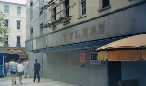 Demolition work starts on the former Tylers shoe shop
 -
-
-
-
-
-
-
-
-
-
-
-
-
-
-
-
-
-
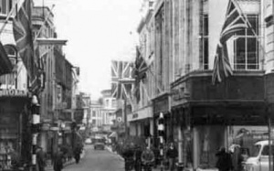
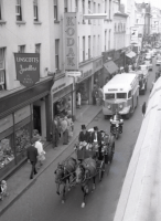
 A band marches along the upper end of the street, flags flying probably for some Royal event
 -
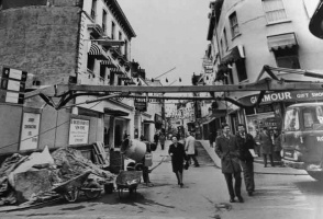
 Paving work starts in 1976 - Jersey Evening Post picture
 -
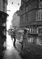 The junction with New Cut and New Street on a wet day in 1979


-
-
-
-
-
-
-
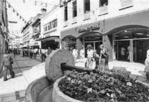
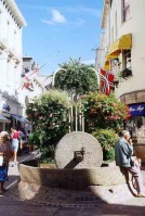
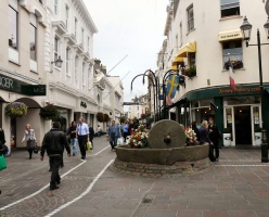
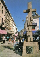 King Street Cross
 -
-
 1957
1957 -
 1926
1926 -
-
-
-
-
-
-
-
-
-
-
-
-
-
-
-
-
-
 1981 photograph by Andre Ferrari


-
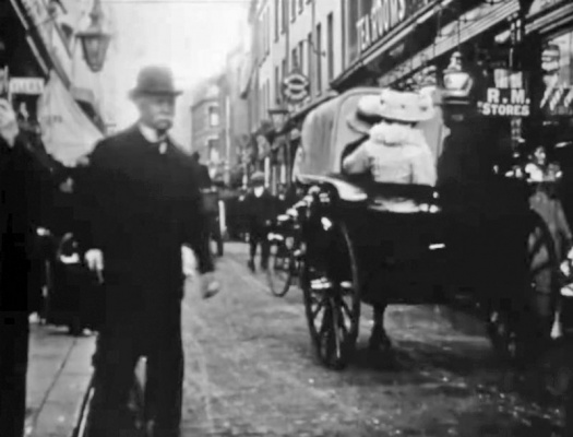 Two frames from an early cine film of King Street ...
 -
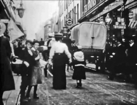 ... RM Stores on the right was at No 31


-
-
-
-
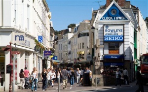
 King Street
 -
 King Street
 -
 King Street
 -
 King Street
 -
 King Street
 -
 King Street
 -
 1969, and traffic and pedestrians still share the street outside Au Caprice, No 11
 -
 1977 - picture Jersey Evening Post
 -
 1977 - picture Jersey Evening Post
 -
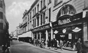
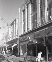
 Burton's and Woolworth
 -
 The junction with New Street, looking east
 -
 Looking towards the western end of the street
 -
 Close to the Halkett Place junction - picture courtesy of Facebook group Jersey Temps Passe
 -
-
 1970s
1970s -
-
 1935
1935 -
 1945 - life gets back to normal after the Liberation
 -
-

-
 Shoppers at the Halkett Place end of the street in the 1930s
 -
 The junction with Queen Street in 1948
 -
 1918
1918 -
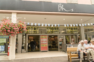 Closing sale for BHS
 -
 1981
1981


-
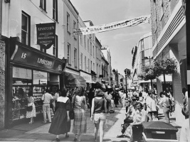
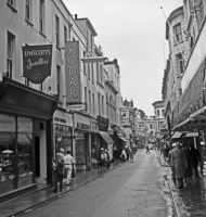
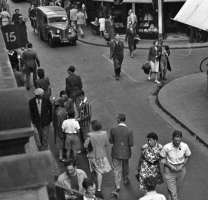
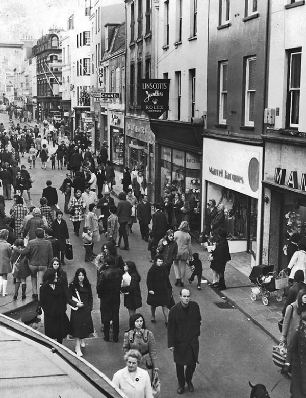 1971, shortly after the street was closed to traffic. Marcel Jacques is No 17, with the lower odd-numbered properties stretching beyond. It used to be possible to walk through from King Street to the Royal Square in a covered walkway between Nos 15 (Linscott's in this photograph) and 17, but that has since disappeared with redevelopment
 -
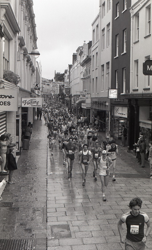 The Jersey Marathon passes along the street in 1983


20th century
A selection of Jersey Evening Post photographs from 1945 to 1983
-
 1945
1945 -
 1946
1946 -
 1946
1946 -
 1946
1946 -
 1962
1962 -
 1975
1975 -
 1976
1976 -
 1976
1976 -
 1976
1976 -
 1976
1976 -
 1976
1976 -
 1976
1976 -
 1976
1976 -
 1976
1976 -
 1976
1976 -
 1977
1977 -
 1977
1977 -
 1978
1978 -
 1978
1978 -
 1978
1978 -
 1978
1978 -
 1978
1978 -
 1978
1978 -
 1978
1978 -
 1978
1978 -
 1983
1983 -
 1983
1983 -
 1983
1983 -
 1983
1983 -
 1983
1983


Business adverts
-
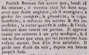 In 1790 Paul Breman announced the opening of an English school in King Street, specialising in all branches of mathematics, in the Gazette de l'Ile de Jersey
 -
-
-
-
-
-
-
-
-
-
-
-
-
-


Notes and references
- ↑ No street numbers are shown in the 1841 census, but other records indicate that the properties had certainly been allocated numbers by the early 1830s, and possibly even earlier. The north side of the street was first developed in the early to mid-18th century. However, these were not commercial properties, but fine homes. Maps of St Helier from 1737 and 1787 do not show individual properties along the north side of King Street, but a thin line of buildings with gardens behind. It was not until the early 19th century that the homes began to be replaced by shops and the street emerged as it is today, flanked on both sides by a continuous line of shops. It can only be after the development of the north side had been completed that the numbering system, with odd numbers on the south and even numbers on the north was introduced.
